Loading...
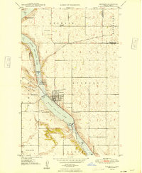
Loading map...1948 Map of Kenmare
USGS Topo · Published 1948About this map
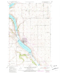
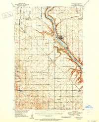
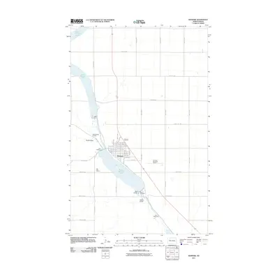
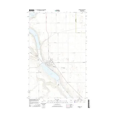
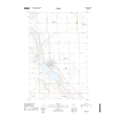
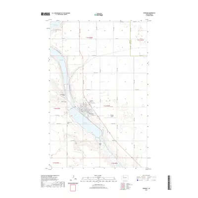
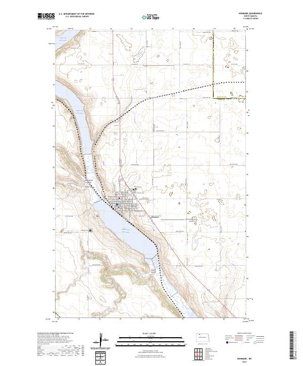
The city of Kenmare serves as the hub of this 1948 survey, positioned at a strategic bend along the valley carved by the Des Lacs River. This landscape is defined by the expansive Des Lacs Migratory Bird Refuge, which encompasses both Upper Des Lacs Lake and Middle Des Lacs Lake. The town's grid is detailed alongside the Minneapolis St Paul and Sault Ste Marie railroad, which follows the valley floor, highlighting the importance of rail transport for this agricultural region in the late 1940s.
Find a feature on this map
19 named features on this map. Tap any name to fly to it.
Don’t see what you’re looking for? This feature index may not catch every label — zoom into the map to look around manually.
Map Details
Date Portrayed1948
Date Published1948
PublisherU.S. Geological Survey
Map TypeTopographic
Scale1:24,000
Physical Dimensions22 x 26.8 inches
Editions of this 1948 Kenmare Map
2 editions found
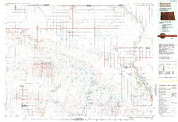
Historical Maps of Kenmare Through Time
8 maps found
Featured Locations
Source Details
SourceU.S. Geological Survey
CopyrightPublic Domain