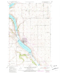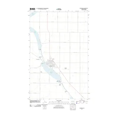
1982 Map of Kenmare
USGS Topo · Published 1982About this map
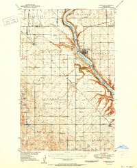
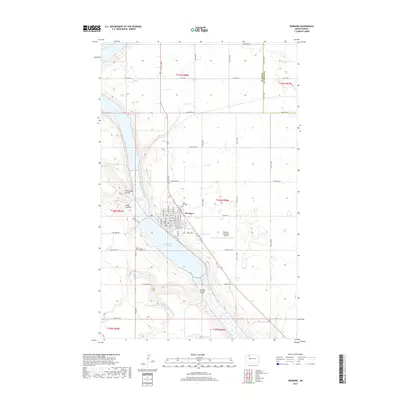
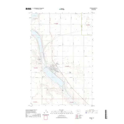
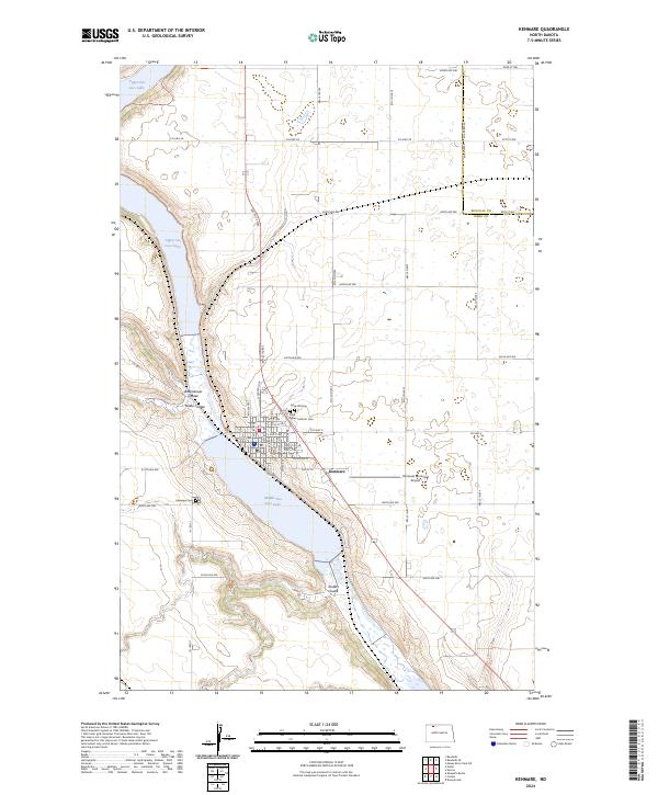
Lostwood National Wildlife Refuge dominates the central landscape of this 1982 map, showcasing the prairie pothole region of northwestern North Dakota. The area's economic foundations are clearly visible through the extensive Oil and Gas Field in the southwest and a large Strip Mine north of Columbus. This era illustrates a critical intersection of wildlife conservation and energy extraction, with the Upper Des Lacs National Wildlife Refuge following the river valley through Kenmare. Settlement patterns are defined by the Soo Line and Burlington Northern railroads, which connect agricultural centers like Bowbells, Flaxton, and Lignite. On the international border, Portal and Northgate serve as vital crossing points into Saskatchewan. The map also documents numerous small prairie lakes, including Powers Lake and Smishek Lake State Wildlife Management Area, reflecting the complex hydrology of the Coteau terrain.
Find a feature on this map
100 named features on this map. Tap any name to fly to it.
Don’t see what you’re looking for? This feature index may not catch every label — zoom into the map to look around manually.
Map Details
Editions of this 1982 Kenmare Map
This is the sole edition of this map. No revisions or reprints were ever made.
Historical Maps of Kenmare Through Time
8 maps found