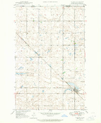
1947 Map of Flaxton
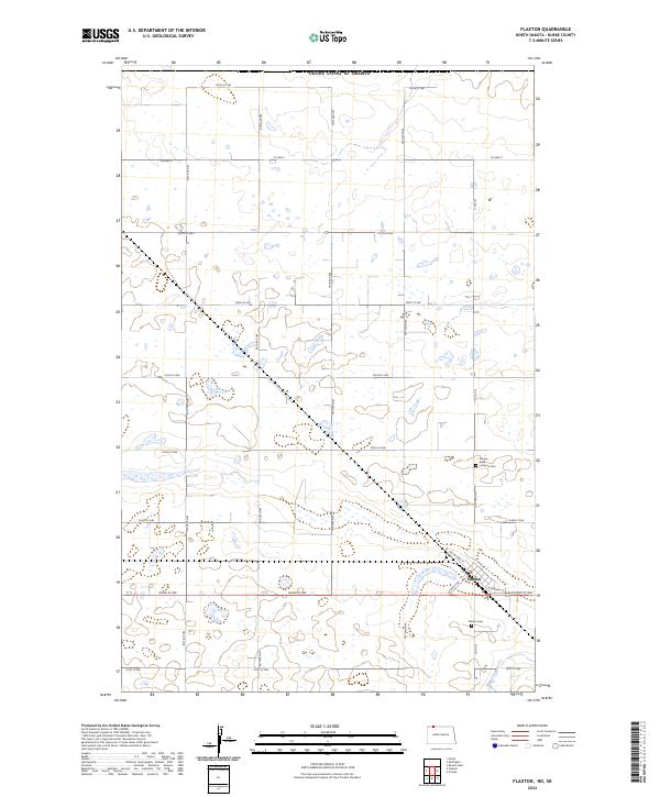
USGS Topo · Published 1965About this map
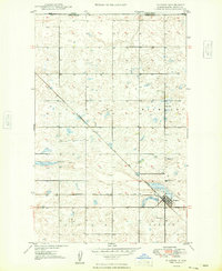
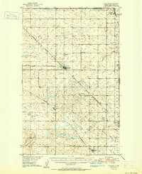
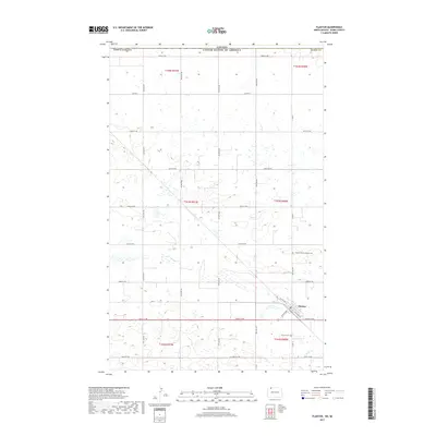
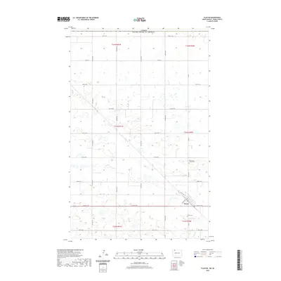
The international border between the Canada United States and Saskatchewan North Dakota defines the northern edge of this prairie landscape. Recorded through fieldwork in the late 1940s, the area is dominated by the town of Flaxton and the critical transit corridor of the Minneapolis St Paul and Sault Ste Marie railroad. The settlement pattern reveals the local importance of early social institutions, including the Danish Ch and Sch No 3, which served the surrounding farming families. Land use is further illustrated by a Gravel Pit near the tracks, indicating local material extraction for infrastructure as the region developed. The map's detailed topography, compiled from 1946 aerial photography, captures the intricate network of glacial depressions and sloughs characteristic of the Burke County terrain during this era of mid-century agricultural stability.
Find a feature on this map
8 named features on this map. Tap any name to fly to it.
Don’t see what you’re looking for? This feature index may not catch every label — zoom into the map to look around manually.
Map Details
Editions of this 1947 Flaxton Map
This is the sole edition of this map. No revisions or reprints were ever made.
Historical Maps of Flaxton Through Time
8 maps found