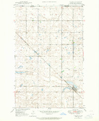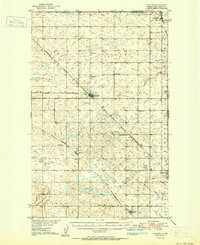
1948 Map of Flaxton
USGS Topo · Published 1948About this map
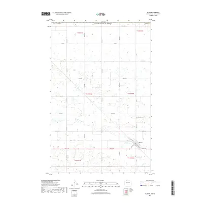
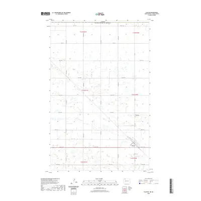
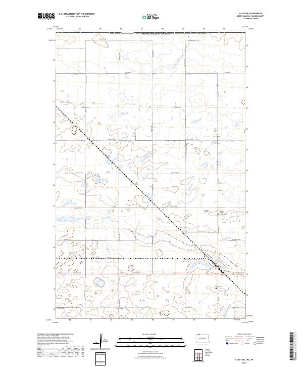
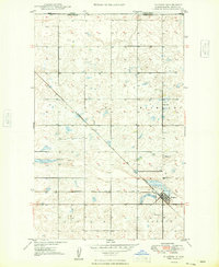
The international border between the Canada United States defines the northern edge of this North Dakota landscape, where the boundary between Saskatchewan and North Dakota runs across a prairie dotted with numerous small wetlands and potholes. The town of Flaxton serves as the local hub, situated at a junction where the Minneapolis St Paul and Sault Ste Marie railroad branches northwest and southwest. This rail infrastructure was the lifeblood of the area's grain-based economy and early settlement growth. Cultural landmarks include the Danish Ch and Flaxton Cem, which suggest the specific European heritage of the homesteaders who established the surrounding townships of Richland and Dale. A lone Sch No 3 and a local Gravel Pit indicate the distributed nature of rural life and early road maintenance in this borderland quadrangle.
Find a feature on this map
10 named features on this map. Tap any name to fly to it.
Don’t see what you’re looking for? This feature index may not catch every label — zoom into the map to look around manually.
Map Details
Editions of this 1948 Flaxton Map
This is the sole edition of this map. No revisions or reprints were ever made.
Historical Maps of Flaxton Through Time
8 maps found