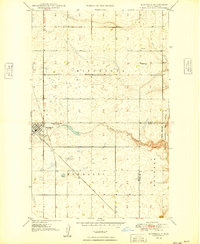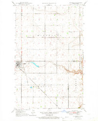
1947 Map of Bowbells
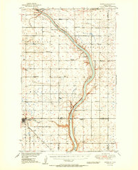
USGS Topo · Published 1966About this map
Bowbells serves as the focal point of this North Dakota prairie landscape, situated at the vital junction of the Great Northern and Minneapolis St Paul and Sault Ste Marie railroads. The town's grid is clearly defined, accompanied by the Bowbells Cem and St Joseph Cem on its eastern edge. Beyond the town, the land is divided into townships such as Minnesota and Denmark, revealing a rural infrastructure of one-room schoolhouses like School No 1 and School No 4. The terrain is shaped by the meandering Stony Creek, which features a CCC Dam, a clear indication of public works projects in the preceding decade. Along the eastern margin, the Des Lacs Migratory Bird Refuge Boundary marks the transition into protected wetlands, while a local Golf Course suggests the social recreation patterns of this mid-century community.
Find a feature on this map
18 named features on this map. Tap any name to fly to it.
Don’t see what you’re looking for? This feature index may not catch every label — zoom into the map to look around manually.
Map Details
Editions of this 1947 Bowbells Map
This is the sole edition of this map. No revisions or reprints were ever made.
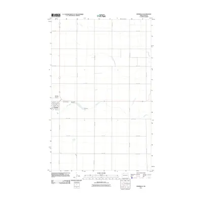
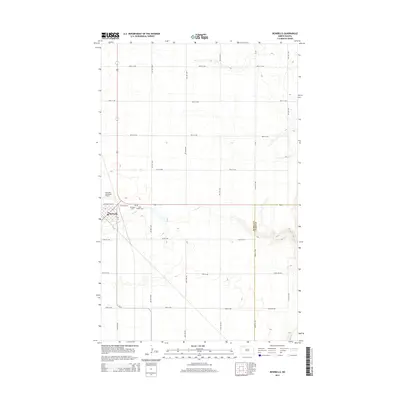
Historical Maps of Bowbells Through Time
8 maps found