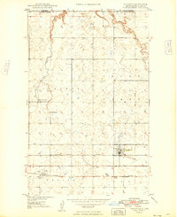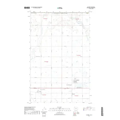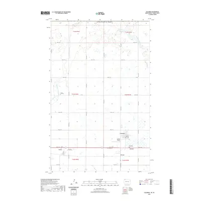
1947 Map of Columbus
USGS Topo · Published 1977About this map
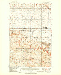
Columbus and Larson anchor the landscape of northern Burke County, sitting just south of the international boundary between the United States and Canada. This 1940s topography, later updated through photo-inspection in 1971, reveals a prairie region defined by its rail connections and township divisions. The southern portion of the map is dominated by the Great Northern and the Minneapolis St Paul and Sault Ste Marie railroads, which facilitated the movement of grain and goods across the plains.
Find a feature on this map
16 named features on this map. Tap any name to fly to it.
Don’t see what you’re looking for? This feature index may not catch every label — zoom into the map to look around manually.
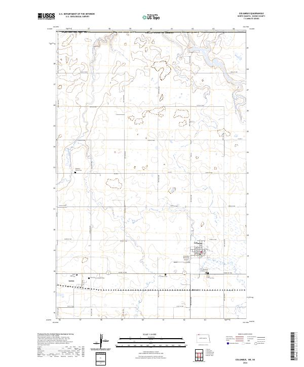
Map Details
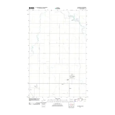
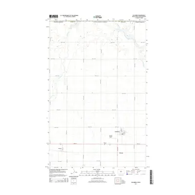
Editions of this 1947 Columbus Map
This is the sole edition of this map. No revisions or reprints were ever made.
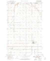
Historical Maps of Columbus Through Time
8 maps found