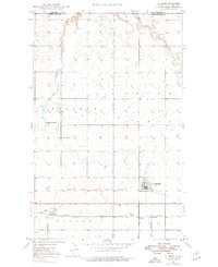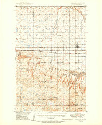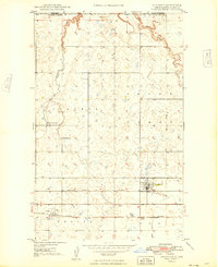
1949 Map of Columbus
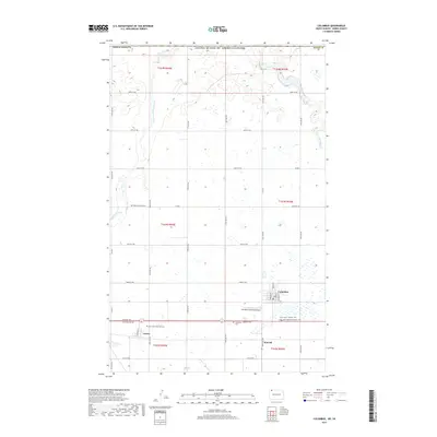
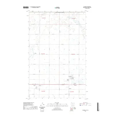
USGS Topo · Published 1949About this map
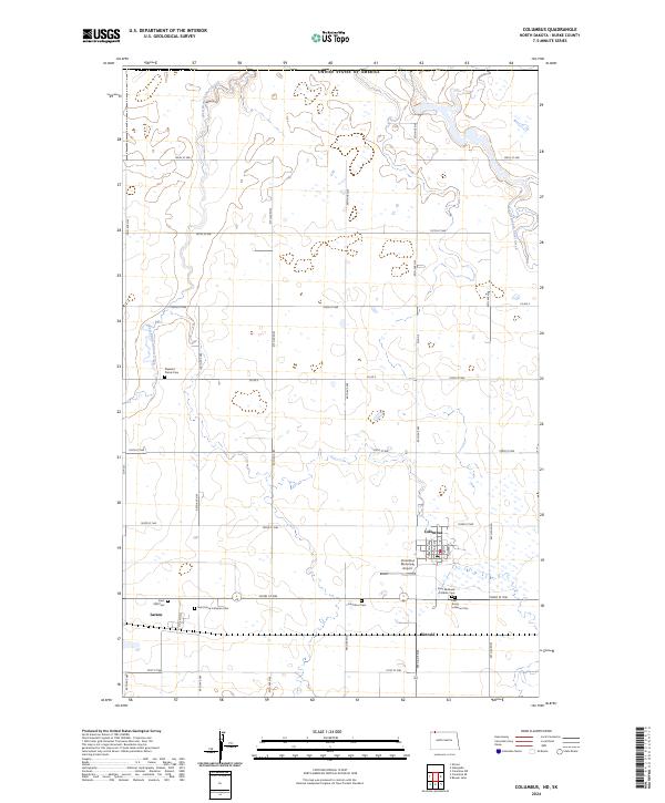
The international border between Canada and the United States defines the northern edge of this North Dakota landscape, where the prairie of Burke County meets the southern boundary of Saskatchewan. In the late 1940s, the region's economy and social life centered on the intersecting paths of the Great Northern and the Minneapolis St Paul and Sault Ste Marie railroads. These lines connect the town of Columbus with nearby Larson and Kincaid, providing the essential infrastructure for grain and resource transport. The agricultural character of the era is evident in the scattered rural institutions that served the homesteading families, including Pleasant Prairie Ch and Brookside Sch. Drainage for the glaciated terrain is provided by Short Creek and its West Branch Short Creek, which meander through a landscape dotted with numerous small prairie potholes and wetlands.
Find a feature on this map
15 named features on this map. Tap any name to fly to it.
Don’t see what you’re looking for? This feature index may not catch every label — zoom into the map to look around manually.
Map Details
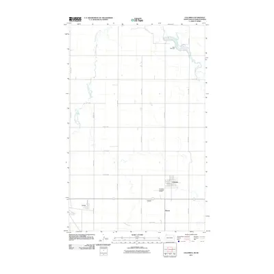
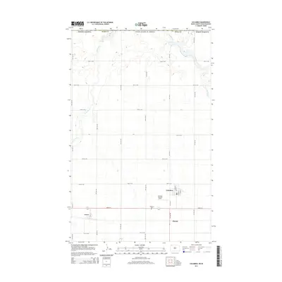
Editions of this 1949 Columbus Map
This is the sole edition of this map. No revisions or reprints were ever made.
Historical Maps of Columbus Through Time
8 maps found