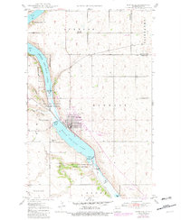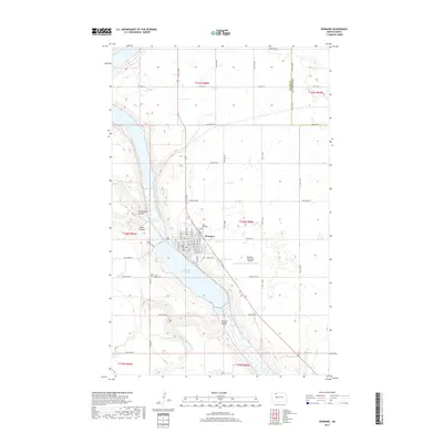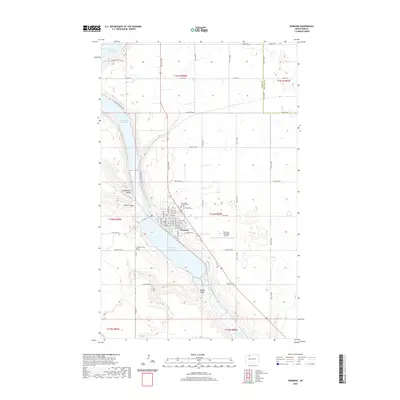
1950 Map of Kenmare
USGS Topo · Published 1950About this map
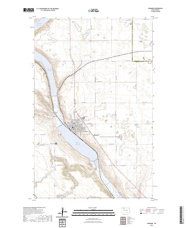
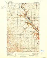
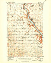
The Upper Des Lacs Lake and its sister basins, Middle Des Lacs Lake and Lower Des Lacs Lake, carve a deep path through the North Dakota plains, defining the topography of this 1950 survey. The Des Lacs National Wildlife Refuge follows this watercourse, while the town of Kenmare serves as the regional hub at the lakes' narrowing point. This area shows a highly organized rural structure, dotted with numerous local institutions like Spencer Sch, Crowfoot Sch, and Bethlehem Ch that served the farming townships of Elmdale, Spencer, and Crowfoot. The infrastructure of the era is anchored by the Great Northern and Minneapolis St Paul and Sault Ste Marie railroads, which facilitated the movement of grain and passengers through settlements such as Niobe and Kenaston.
Find a feature on this map
45 named features on this map. Tap any name to fly to it.
Don’t see what you’re looking for? This feature index may not catch every label — zoom into the map to look around manually.
Map Details
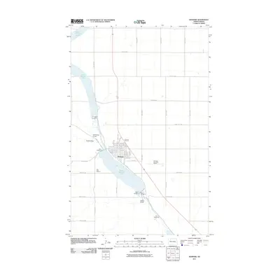
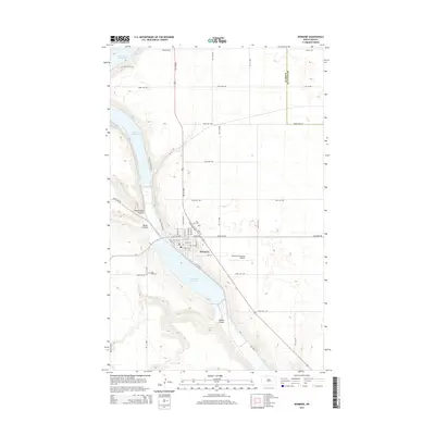
Editions of this 1950 Kenmare Map
2 editions found
Historical Maps of Kenmare Through Time
8 maps found