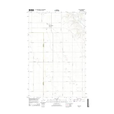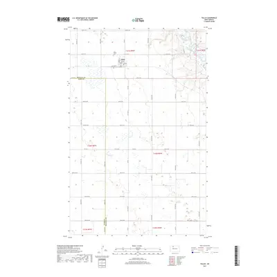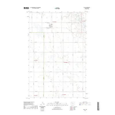
1948 Map of Tolley
USGS Topo · Published 1948About this map
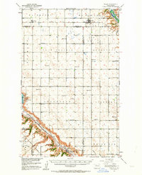
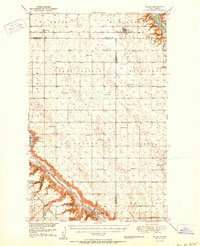
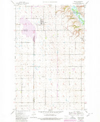
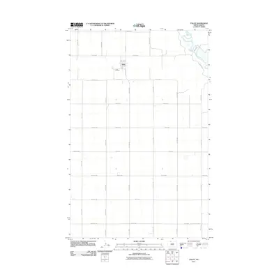
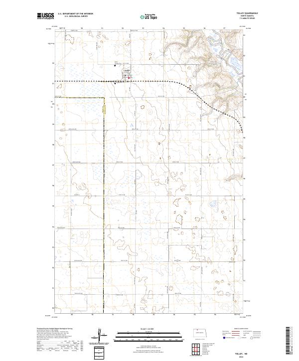
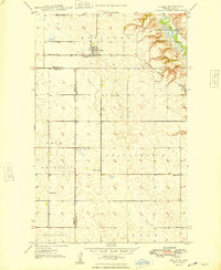
The settlement of Tolley stands as the primary hub of activity in this 1940s landscape, situated along the Minneapolis St Paul and Sault Ste Marie rail line. This prairie region is characterized by its organized township divisions, including McKinney, Sauk Prairie, and Roosevelt, which encompass a network of rural schoolhouses such as School No. 13 and School No. 3. To the east, the terrain shifts dramatically where the Souris River carves through the landscape, protected within the Upper Souris Migratory Waterfowl Refuge. Genealogists will find particular value in the location of Trinity Cem just south of the main town. The map reveals a post-war rural economy still deeply tied to the railroad and distributed local education, with the boundary between Renville and Ward counties bisecting the southern townships.
Find a feature on this map
16 named features on this map. Tap any name to fly to it.
Don’t see what you’re looking for? This feature index may not catch every label — zoom into the map to look around manually.
Map Details
Editions of this 1948 Tolley Map
This is the sole edition of this map. No revisions or reprints were ever made.
Historical Maps of Tolley Through Time
9 maps found