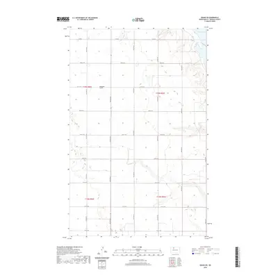
1949 Map of Greene
USGS Topo · Published 1949About this map
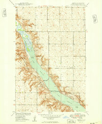
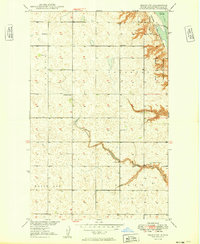
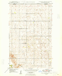
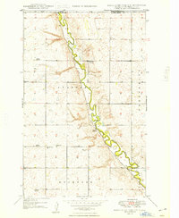
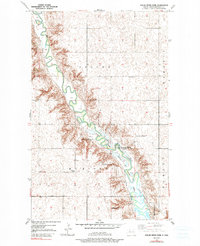
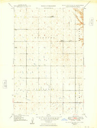
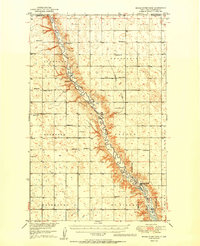
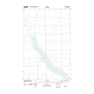
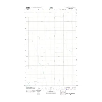
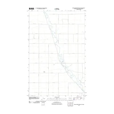
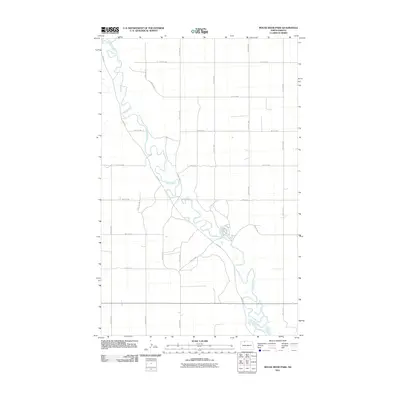
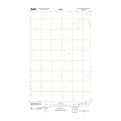
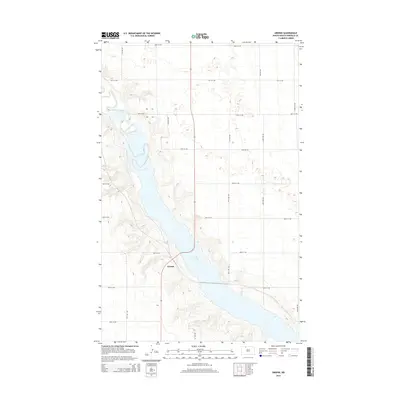
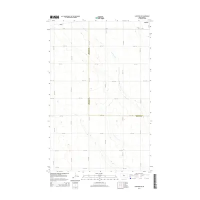
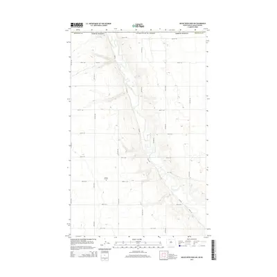
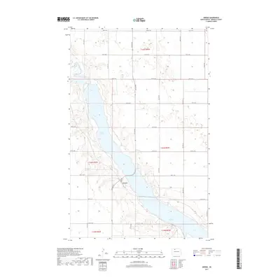
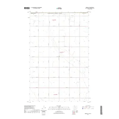
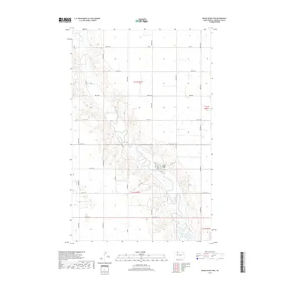
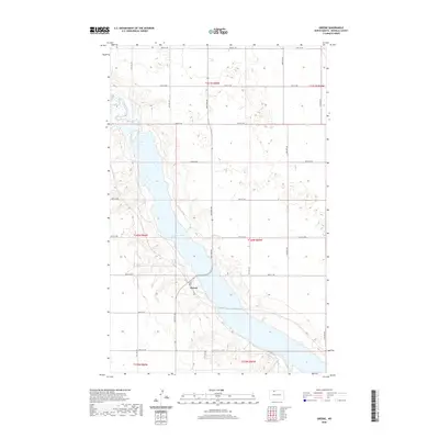
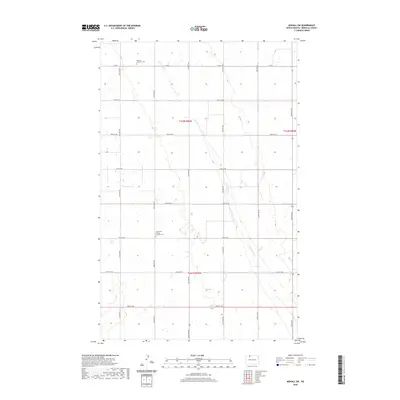
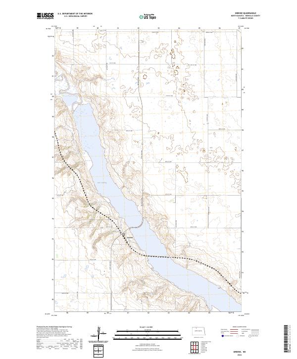
Lake Darling dominates the landscape of this 1949 survey, representing a critical water management and habitat conservation project in Renville County. The reservoir, created by the damming of the Upper Souris River, is central to the Upper Souris National Wildlife Refuge. This mapping captures the region shortly after the initial development of the refuge, showing the precise Refuge Boundary as it interacts with the surrounding rural terrain. The small settlement of Greene sits near the water's edge, served by the Minneapolis St Paul and Sault Ste Marie railroad, which crosses the lake via a series of bridges.
Find a feature on this map
13 named features on this map. Tap any name to fly to it.
Don’t see what you’re looking for? This feature index may not catch every label — zoom into the map to look around manually.
Map Details
Editions of this 1949 Greene Map
This is the sole edition of this map. No revisions or reprints were ever made.
Historical Maps of Greene Through Time
69 maps found
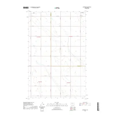
1948 Lansford SW
Renville County, ND
1948 Mouse River Park NW
Renville County, ND
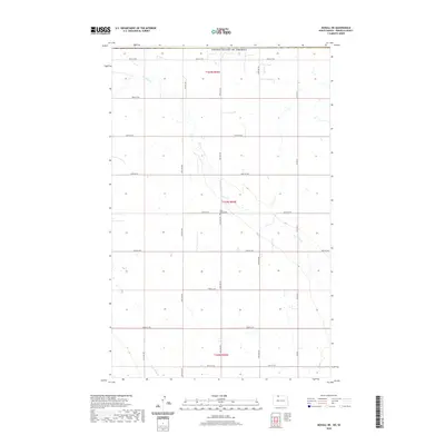
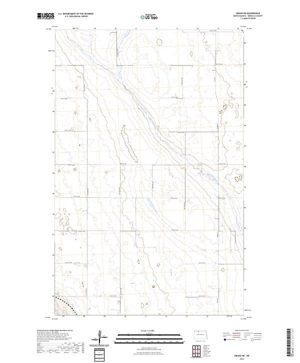
1949 Grano NE
Renville County, ND
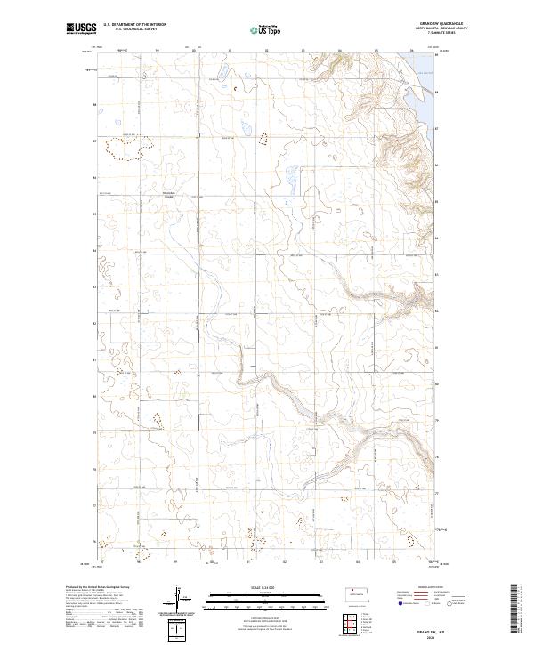
1949 Grano SW
Renville County, ND
1949 Greene
Renville County, ND
1949 Lansford SW
Renville County, ND
1949 Mohall NE
Renville County, ND
1949 Mohall SW
Renville County, ND
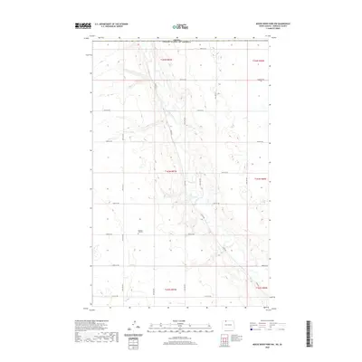
1949 Mouse River Park NE
Renville County, ND
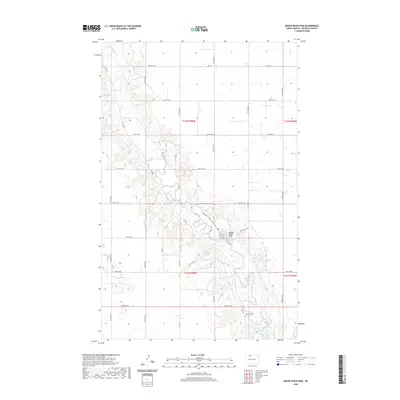
1949 Mouse River Park NW
Renville County, ND
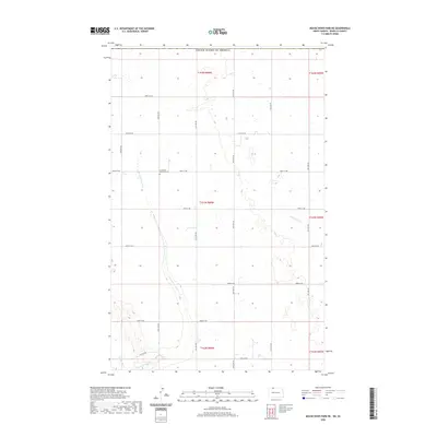
1949 Mouse River Park
Renville County, ND
1949 Mouse River Park SW
Renville County, ND
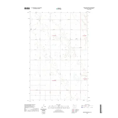
1949 Tolley SE
Renville County, ND
1950 Mouse River Park
Renville County, ND
2011 Grano NE
Renville County, ND
2011 Grano SW
Renville County, ND
2011 Greene
Renville County, ND
2011 Lansford SW
Renville County, ND
2011 Mohall NE
Renville County, ND
2011 Mohall SW
Renville County, ND
2011 Mouse River Park NE
Renville County, ND
2011 Mouse River Park NW
Renville County, ND
2011 Mouse River Park
Renville County, ND
2011 Mouse River Park SW
Renville County, ND
2011 Tolley SE
Renville County, ND
2014 Grano NE
Renville County, ND
2014 Grano SW
Renville County, ND
2014 Greene
Renville County, ND
2014 Lansford SW
Renville County, ND
2014 Mohall NE
Renville County, ND
2014 Mohall SW
Renville County, ND
2014 Mouse River Park NE
Renville County, ND
2014 Mouse River Park NW
Renville County, ND
2014 Mouse River Park
Renville County, ND
2014 Mouse River Park SW
Renville County, ND
2014 Tolley SE
Renville County, ND
2017 Grano NE
Renville County, ND
2017 Grano SW
Renville County, ND
2017 Greene
Renville County, ND
2017 Lansford SW
Renville County, ND
2017 Mohall NE
Renville County, ND
2017 Mohall SW
Renville County, ND
2017 Mouse River Park NE
Renville County, ND
2017 Mouse River Park NW
Renville County, ND
2017 Mouse River Park
Renville County, ND
2017 Mouse River Park SW
Renville County, ND
2017 Tolley SE
Renville County, ND
2020 Grano NE
Renville County, ND
2020 Grano SW
Renville County, ND
2020 Greene
Renville County, ND
2020 Lansford SW
Renville County, ND
2020 Mohall NE
Renville County, ND
2020 Mohall SW
Renville County, ND
2020 Mouse River Park NE
Renville County, ND
2020 Mouse River Park NW
Renville County, ND
2020 Mouse River Park
Renville County, ND
2020 Mouse River Park SW
Renville County, ND
2020 Tolley SE
Renville County, ND
2024 Grano NE
Renville County, ND
2024 Grano SW
Renville County, ND
2024 Greene
Renville County, ND
2024 Lansford SW
Renville County, ND
2024 Mohall NE
Renville County, ND
2024 Mohall SW
Renville County, ND
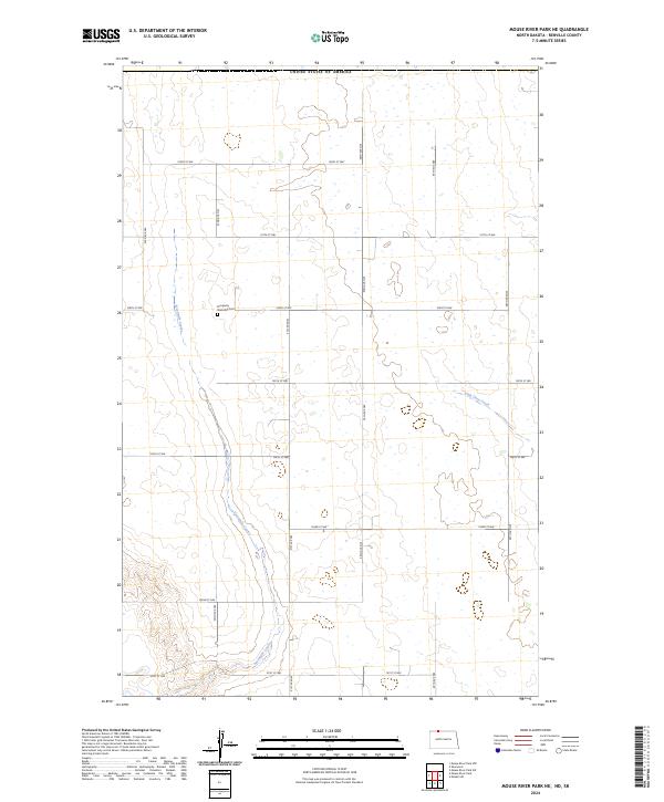
2024 Mouse River Park NE
Renville County, ND
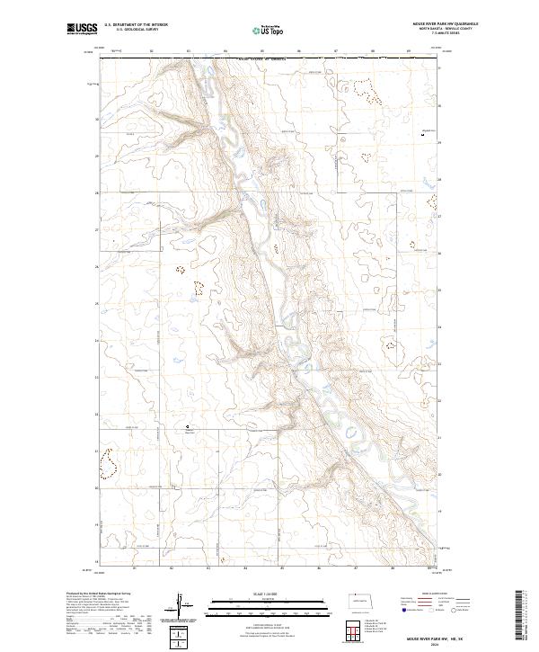
2024 Mouse River Park NW
Renville County, ND
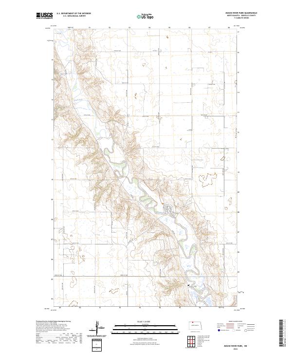
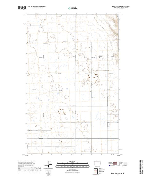
2024 Mouse River Park
Renville County, ND
2024 Mouse River Park SW
Renville County, ND
2024 Tolley SE
Renville County, ND