
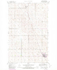
1948 Map of Mohall
USGS Topo · Published 1948About this map
The Great Northern railroad tracks define the human landscape of the North Dakota prairie in the late 1940s, connecting the grain-growing townships of Hurley and Brandon. This topographic survey shows the town of Mohall as a bustling local hub, marked by its grid of streets and the nearby Mohall Landing Field, while the smaller settlement of Loraine sits to the north. The terrain is characterized by the gentle drainage of Bank Creek and a dense pattern of prairie potholes and depressions typical of Renville County. The mapping reflect a moment when aerial photography, taken in 1946, was beginning to refine the traditional plane-table methods used by the Geological Survey to capture the subtle elevations of the Great Plains.
Find a feature on this map
7 named features on this map. Tap any name to fly to it.
Don’t see what you’re looking for? This feature index may not catch every label — zoom into the map to look around manually.
Map Details
Editions of this 1948 Mohall Map
2 editions found
Other maps of this area

1948 · Dokken SW
USGS Topo · 1:24,000

1948 · Lansford
USGS Topo · 1:62,500

1949 · Lansford NW
USGS Topo · 1:24,000

1949 · Mohall SW
USGS Topo · 1:24,000

1949 · Mohall NE
USGS Topo · 1:24,000

1949 · Sherwood
USGS Topo · 1:24,000

1949 · Greene
USGS Topo · 1:24,000

1949 · Grano NE
USGS Topo · 1:24,000

1950 · Lansford
USGS Topo · 1:62,500

1950 · Antler NW
USGS Topo · 1:24,000