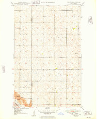
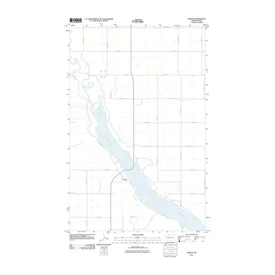
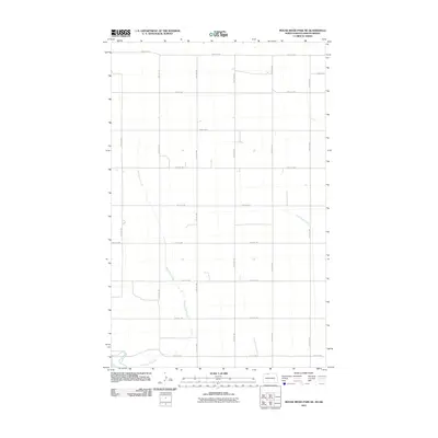
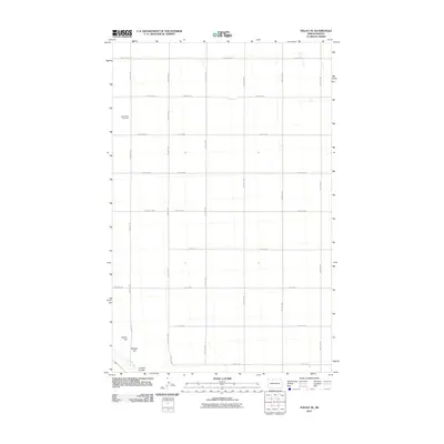
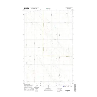
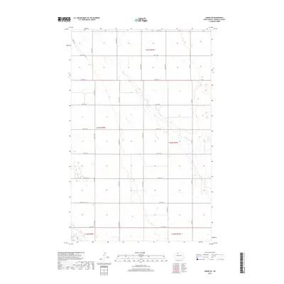
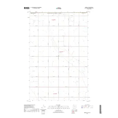
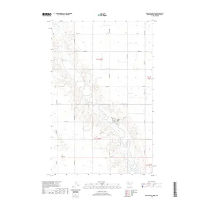
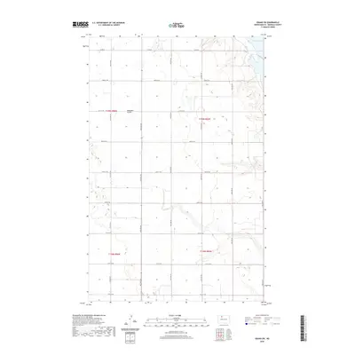
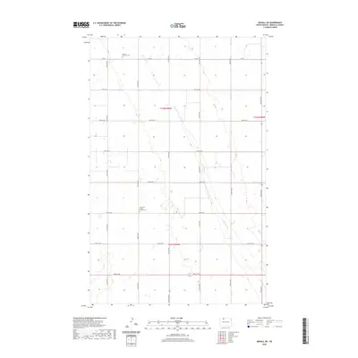
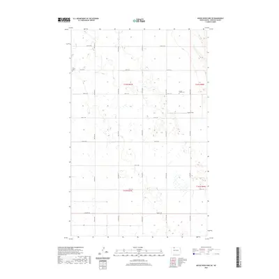
1949 Map of Mohall NE
USGS Topo · Published 1949About this map
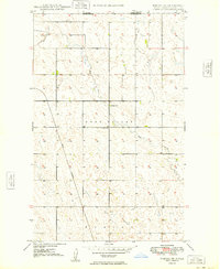
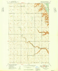
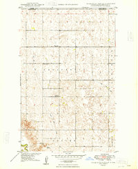
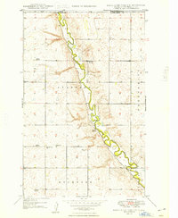
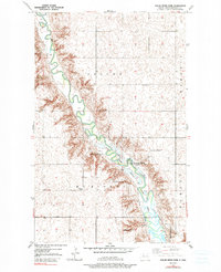
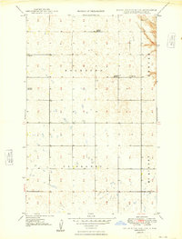
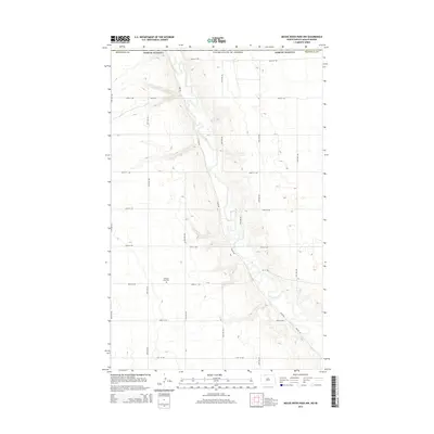
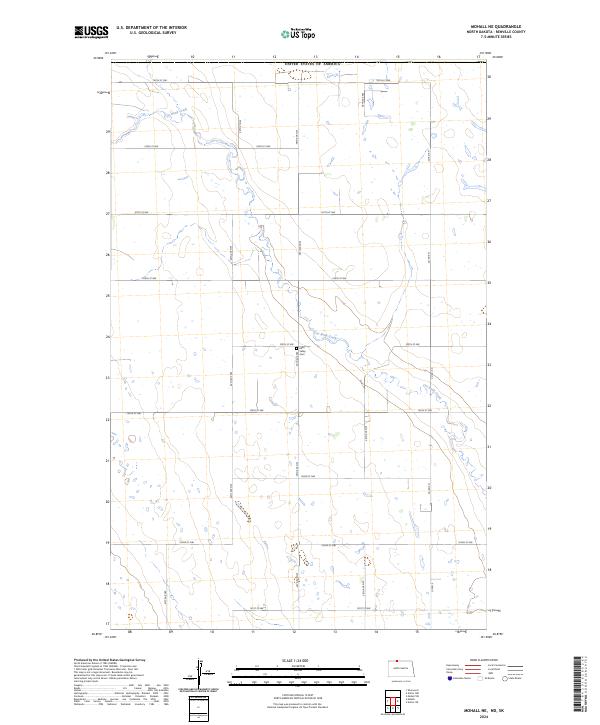
The international boundary between Canada and the United States defines the northern edge of this North Dakota landscape, where the prairie of Renville County meets Saskatchewan. In the late 1940s, the terrain was characterized by the winding path of Cut Bank Creek and the expansive rural townships of Eden Valley and Hurley. This survey, compiled in part from 1946 aerial photography, documents the infrastructure of a remote agricultural community, including the Great Northern railroad line cutting through the southwestern corner. Local landmarks essential for genealogists and local historians are preserved here, such as School No 1 and the Eden Valley Cem, which serves as a central point of reference for the families who settled this northern border region.
Find a feature on this map
10 named features on this map. Tap any name to fly to it.
Don’t see what you’re looking for? This feature index may not catch every label — zoom into the map to look around manually.
Map Details
Editions of this 1949 Mohall NE Map
This is the sole edition of this map. No revisions or reprints were ever made.
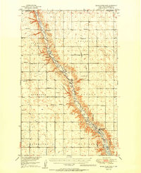
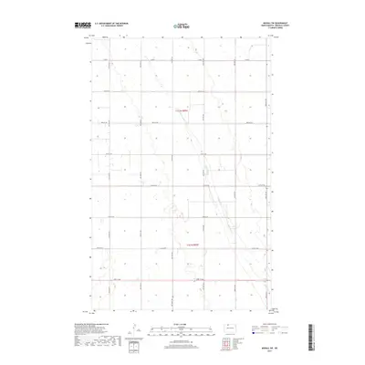
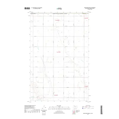
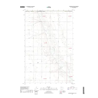
Historical Maps of Renville County Through Time
69 maps found
1948 Lansford SW
Renville County, ND
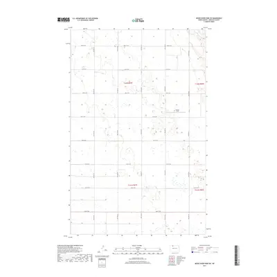
1948 Mouse River Park NW
Renville County, ND
1949 Grano NE
Renville County, ND
1949 Grano SW
Renville County, ND
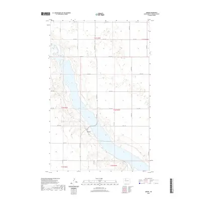
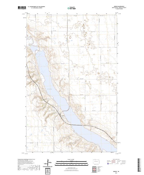
1949 Greene
Renville County, ND
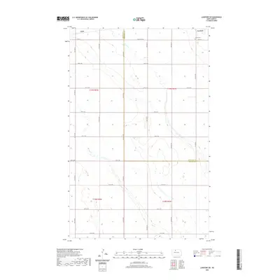
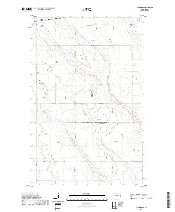
1949 Lansford SW
Renville County, ND
1949 Mohall NE
Renville County, ND
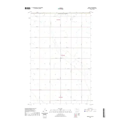
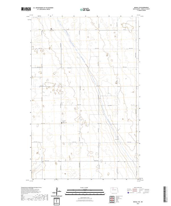
1949 Mohall SW
Renville County, ND
1949 Mouse River Park NE
Renville County, ND
1949 Mouse River Park NW
Renville County, ND
1949 Mouse River Park
Renville County, ND
1949 Mouse River Park SW
Renville County, ND
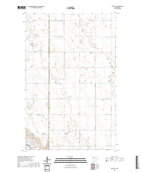
1949 Tolley SE
Renville County, ND
1950 Mouse River Park
Renville County, ND
2011 Grano NE
Renville County, ND
2011 Grano SW
Renville County, ND
2011 Greene
Renville County, ND
2011 Lansford SW
Renville County, ND
2011 Mohall NE
Renville County, ND
2011 Mohall SW
Renville County, ND
2011 Mouse River Park NE
Renville County, ND
2011 Mouse River Park NW
Renville County, ND
2011 Mouse River Park
Renville County, ND
2011 Mouse River Park SW
Renville County, ND
2011 Tolley SE
Renville County, ND
2014 Grano NE
Renville County, ND
2014 Grano SW
Renville County, ND
2014 Greene
Renville County, ND
2014 Lansford SW
Renville County, ND
2014 Mohall NE
Renville County, ND
2014 Mohall SW
Renville County, ND
2014 Mouse River Park NE
Renville County, ND
2014 Mouse River Park NW
Renville County, ND
2014 Mouse River Park
Renville County, ND
2014 Mouse River Park SW
Renville County, ND
2014 Tolley SE
Renville County, ND
2017 Grano NE
Renville County, ND
2017 Grano SW
Renville County, ND
2017 Greene
Renville County, ND
2017 Lansford SW
Renville County, ND
2017 Mohall NE
Renville County, ND
2017 Mohall SW
Renville County, ND
2017 Mouse River Park NE
Renville County, ND
2017 Mouse River Park NW
Renville County, ND
2017 Mouse River Park
Renville County, ND
2017 Mouse River Park SW
Renville County, ND
2017 Tolley SE
Renville County, ND
2020 Grano NE
Renville County, ND
2020 Grano SW
Renville County, ND
2020 Greene
Renville County, ND
2020 Lansford SW
Renville County, ND
2020 Mohall NE
Renville County, ND
2020 Mohall SW
Renville County, ND
2020 Mouse River Park NE
Renville County, ND
2020 Mouse River Park NW
Renville County, ND
2020 Mouse River Park
Renville County, ND
2020 Mouse River Park SW
Renville County, ND
2020 Tolley SE
Renville County, ND
2024 Grano NE
Renville County, ND
2024 Grano SW
Renville County, ND
2024 Greene
Renville County, ND
2024 Lansford SW
Renville County, ND
2024 Mohall NE
Renville County, ND
2024 Mohall SW
Renville County, ND
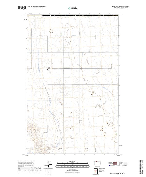
2024 Mouse River Park NE
Renville County, ND
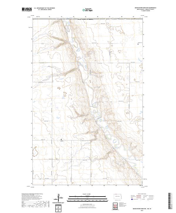
2024 Mouse River Park NW
Renville County, ND
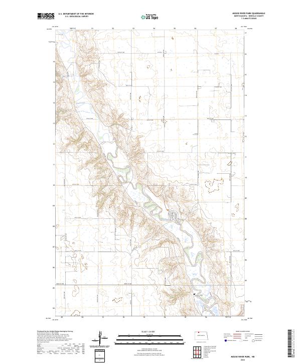
2024 Mouse River Park
Renville County, ND
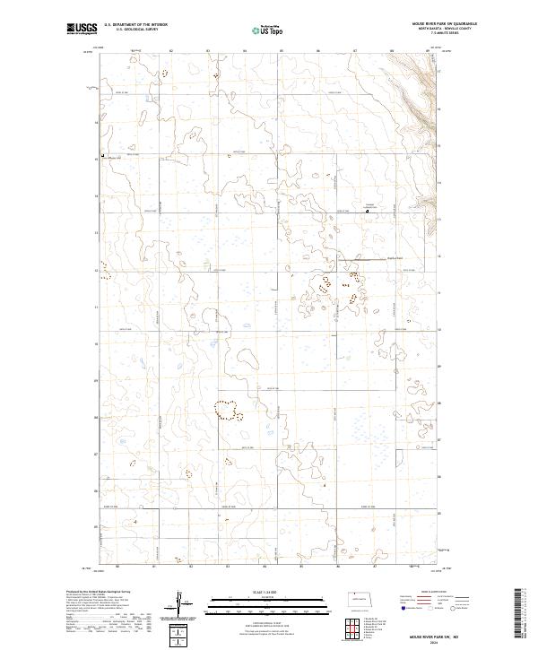
2024 Mouse River Park SW
Renville County, ND
2024 Tolley SE
Renville County, ND