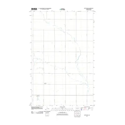
2011 Map of Antler SW
USGS Topo · Published 2011About this map
Mohall Cemetery and Brotherhood Cemetery sit amidst the expansive agricultural grid of Renville County, North Dakota. This 2011 survey illustrates the rural landscape defined by a precise network of section roads like 100th St NW and 36th Ave NW. The natural topography is shaped primarily by the meandering paths of Cut Bank Creek and West Cut Bank Creek, which cut through the level plains. The map reflects the organized settlement patterns of the northern prairie, where small, family-associated burial grounds and isolated watercourses provide the primary relief in a highly structured township system. For researchers, these cemetery locations and the unchanged road grid provide essential anchor points for tracing early 21st-century property lines and local genealogy in the Mohall area.
Find a feature on this map
17 named features on this map. Tap any name to fly to it.
Don’t see what you’re looking for? This feature index may not catch every label — zoom into the map to look around manually.
Map Details
Editions of this 2011 Antler SW Map
This is the sole edition of this map. No revisions or reprints were ever made.
Other maps of this area

1948 · Dokken SW
USGS Topo · 1:24,000

1948 · Mohall
USGS Topo · 1:24,000

1948 · Lansford
USGS Topo · 1:62,500

1949 · Lansford NW
USGS Topo · 1:24,000

1949 · Mohall NE
USGS Topo · 1:24,000

1949 · Lansford NE
USGS Topo · 1:24,000

1949 · Grano NE
USGS Topo · 1:24,000

1950 · Lansford
USGS Topo · 1:62,500

1950 · Antler NW
USGS Topo · 1:24,000

1950 · Mohall
USGS Topo · 1:62,500