
1948 Map of Lansford
USGS Topo · Published 1955About this map
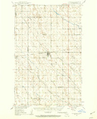
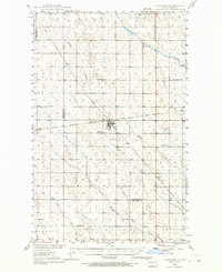
Lansford serves as a central hub on the prairie during the late 1940s, situated at the intersection of the Great Northern and the Minneapolis St Paul and Sault Ste Marie railroads. The map reveals a dense network of rural schools and cemeteries that define the social fabric of Bottineau and Renville counties. Educational landmarks like Blaine Sch, Mount Rose Sch, and Graham Sch are distributed across the landscape, reflecting a time of localized community life before the widespread consolidation of rural school districts. The natural drainage of the region is characterized by winding coulees and creeks, such as Spring Coulee and Cut Bank Creek, which interrupt the geometric precision of the section lines. Small rail stops like Truro and Forfar anchor the surrounding agricultural lands, while sites like St Johns Cem and the Lansford Cem provide specific points of interest for genealogists tracing early North Dakota families.
Find a feature on this map
20 named features on this map. Tap any name to fly to it.
Don’t see what you’re looking for? This feature index may not catch every label — zoom into the map to look around manually.
Map Details
Editions of this 1948 Lansford Map
3 editions found
Other maps of this area

1948 · Dokken SW
USGS Topo · 1:24,000

1948 · Mohall
USGS Topo · 1:24,000

1948 · Burlington
USGS Topo · 1:62,500

1948 · Lansford SW
USGS Topo · 1:24,000

1949 · Burlington NW
USGS Topo · 1:24,000

1949 · Glenburn
USGS Topo · 1:24,000

1949 · Lansford NW
USGS Topo · 1:24,000

1949 · Lansford SW
USGS Topo · 1:24,000

1949 · Deering NW
USGS Topo · 1:24,000

1949 · Carpio NE
USGS Topo · 1:24,000