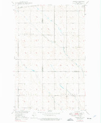
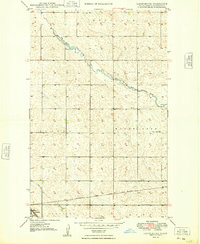
1948 Map of Lansford SW
USGS Topo · Published 1976About this map
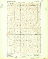
Soo Line tracks cut across the northern boundary of this prairie landscape, serving the community of Lansford in the years following World War II. The terrain is defined by the winding paths of Little Deep Creek and Egg Creek, which meander through townships such as Lockwood, Muskego, and Van Buren. These drainage patterns are characteristic of the Souris River Basin, where low-relief topography and wetlands dominate the rural landscape.
Find a feature on this map
13 named features on this map. Tap any name to fly to it.
Don’t see what you’re looking for? This feature index may not catch every label — zoom into the map to look around manually.
Map Details
Editions of this 1948 Lansford SW Map
This is the sole edition of this map. No revisions or reprints were ever made.
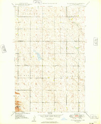
Other maps of this area
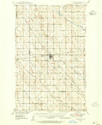
1948 · Lansford
USGS Topo · 1:62,500
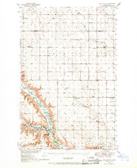
1948 · Burlington
USGS Topo · 1:62,500
1949 · Burlington NW
USGS Topo · 1:24,000

1949 · Lansford NW
USGS Topo · 1:24,000
1949 · Lansford SW
USGS Topo · 1:24,000
1949 · Carpio NE
USGS Topo · 1:24,000
1949 · Grano
USGS Topo · 1:24,000
1949 · Lansford SE
USGS Topo · 1:24,000
1949 · Lansford NE
USGS Topo · 1:24,000
1949 · Grano NE
USGS Topo · 1:24,000