Old Maps of Lansford, North Dakota
Explore 29 old maps of Lansford, spanning from 1948 to today. These high-resolution historic maps reveal how streets, neighborhoods, landmarks, and natural features evolved over time — perfect for genealogy, metal detecting, research, and local history exploration.
What you can do with these maps:
- See how Lansford changed over time: Compare historical maps to modern-day views to trace roads, homesites, rail lines & more.
- View detailed metadata: Each map includes creators, publishers, year, scale, and archive source.
- Overlay maps with satellite & LiDAR: Visualize the past alongside modern tools to explore terrain & human change.
- Trusted historical sources: Maps sourced from the USGS, Library of Congress, and other archives.
- Access maps your way: View online, download high-res files, or order prints for personal or research use.
Start exploring old maps of Lansford to uncover forgotten places, hidden landmarks, and the deep history beneath your feet.
Lansford, ND maps
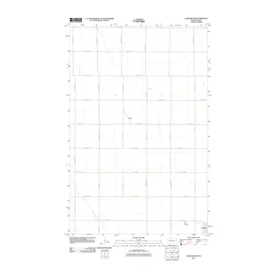
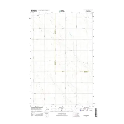
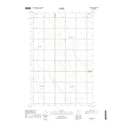
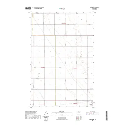
(29)- 1948 Map of Lansford, 1955 Print
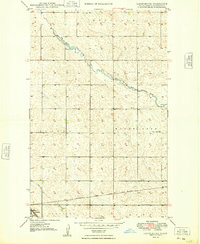
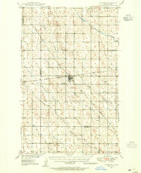 1948 Lansford1955 Print · USGSNorth Dakota's northern prairie is captured here during the post-war era, showing a landscape defined by vital rail junctions and rural schoolhouses. Researchers can trace family history through sites like Lansford, St Johns Cem, and Graham Sch.3 unique versions available
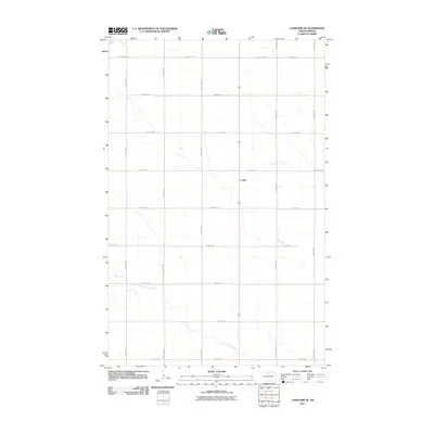
 - 1948 Map of Lansford SW, 1976 Print
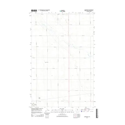
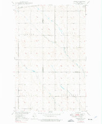 1948 Lansford SW1976 Print · USGSRenville and Bottineau counties appear here in the late 1940s, showing a prairie landscape shaped by the Soo Line and seasonal creeks. Researchers can locate the Lansford Cem and rural landmarks like Olsen School and Graham School.
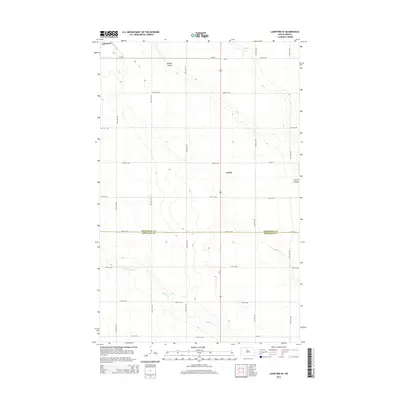
 - 1949 Map of Lansford NW
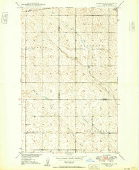
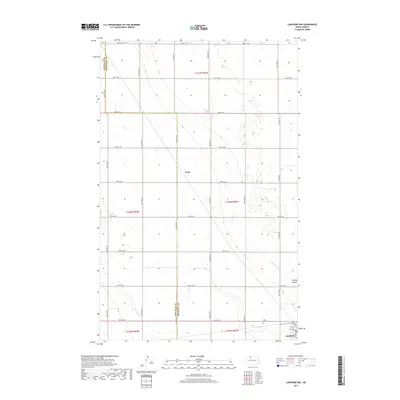
 1949 Lansford NW1949 Print · USGSNorth Dakota's northern plains are captured here in the late 1940s, highlighting a landscape defined by the intersection of major rail lines. Researchers can trace the routes of the Great Northern and locate community sites like Blaine Sch and St Johns Cem.
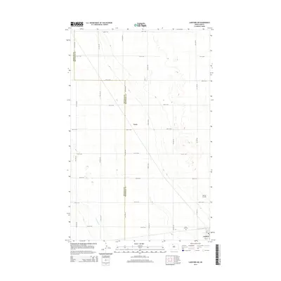
 - 1949 Map of Lansford SW
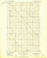
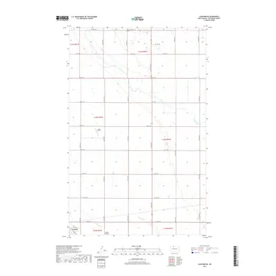
 1949 Lansford SW1949 Print · USGSNorth Dakota's northern plains are captured here in the late 1940s as a landscape of structured townships and vital rail connections. Researchers can locate rural landmarks like the Olsen School and Graham School or trace the Soo Line through Lansford.
 - 1949 Map of Lansford SE
 1949 Lansford SE1949 Print · USGSPrairie life in the Bottineau and Renville county borderlands is documented here just after the war. You can trace the Great Northern rail line connecting Lansford and Forfar or locate rural landmarks like School No 2 and Spring Coulee.
 - 1949 Map of Lansford NE
 1949 Lansford NE1949 Print · USGSThe prairie landscape of north-central North Dakota is captured here just after the war, centered on the rural townships of Mount Rose and Renville. Genealogists and historians can trace the Minneapolis St Paul and Sault Ste Marie rail line past Lansford to the Renville Cem.
 - 1950 Map of Lansford
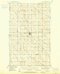 1950 Lansford1950 Print · USGSNorth Dakota's northern prairie was a bustling network of rail and rural education during the mid-century. Researchers can trace the heritage of Lansford through its numerous country schoolhouses like Graham Sch and rail-line stops such as Forfar.
 - 1954 Map of Minot, 1964 Print
 1954 Minot1964 Print · USGSNorth Dakota's northern borderlands are captured here in the mid-fifties, showing a landscape defined by the winding Souris River and the rise of the Turtle Mountains. Genealogists can locate family-named sidings like Hurd Siding and Truro Siding alongside the vital Great Northern rail lines.3 unique versions available
 - 1958 Map of Minot
 1958 Minot1958 Print · USGSNorthern North Dakota is shown here during the mid-fifties, dominated by the rail-driven growth of Minot and the surrounding grain-farming prairie. Genealogists can trace family connections to border towns like Westhope or explore the vast reaches of the Turtle Mountains.
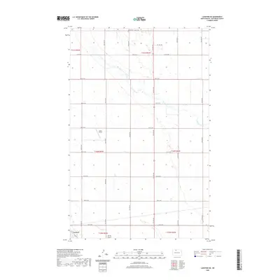
 - 2011 Map of Lansford NE, 2011 Print
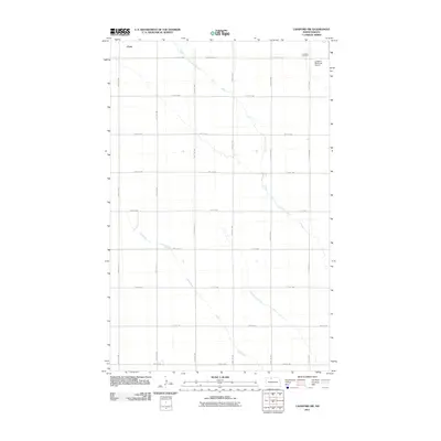
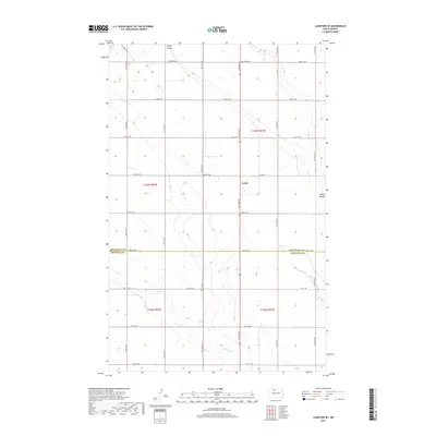
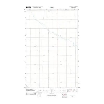 2011 Lansford NE2011 Print · USGSCovers Lansford, including Bottineau County, United States, and other nearby areas
 - 2011 Map of Lansford SW, 2011 Print
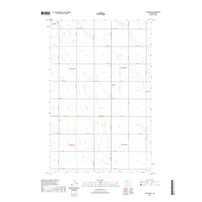
 2011 Lansford SW2011 Print · USGSCovers Lansford, including Chola, Bottineau County, and other nearby areas
 - 2011 Map of Lansford NW, 2011 Print
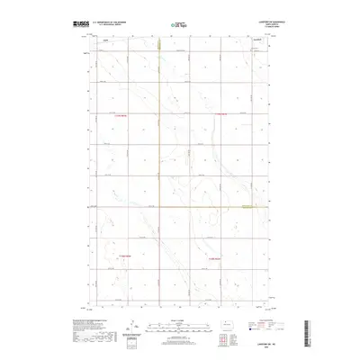
 2011 Lansford NW2011 Print · USGSCovers Lansford, including Truro, Bottineau County, and other nearby areas
 - 2011 Map of Lansford SE, 2011 Print
 2011 Lansford SE2011 Print · USGSCovers Lansford, including Forfar, Bottineau County, and other nearby areas
 - 2014 Map of Lansford SE, 2014 Print
 2014 Lansford SE2014 Print · USGSCovers Lansford, including Forfar, Bottineau County, and other nearby areas
 - 2014 Map of Lansford NW, 2014 Print
 2014 Lansford NW2014 Print · USGSCovers Lansford, including Truro, Bottineau County, and other nearby areas
 - 2014 Map of Lansford SW, 2014 Print
 2014 Lansford SW2014 Print · USGSCovers Lansford, including Chola, Bottineau County, and other nearby areas
 - 2014 Map of Lansford NE, 2014 Print
 2014 Lansford NE2014 Print · USGSCovers Lansford, including Bottineau County, United States, and other nearby areas
 - 2017 Map of Lansford NW, 2017 Print
 2017 Lansford NW2017 Print · USGSCovers Lansford, including Truro, Bottineau County, and other nearby areas
 - 2017 Map of Lansford NE, 2017 Print
 2017 Lansford NE2017 Print · USGSCovers Lansford, including Bottineau County, United States, and other nearby areas
 - 2017 Map of Lansford SW, 2017 Print
 2017 Lansford SW2017 Print · USGSCovers Lansford, including Chola, Bottineau County, and other nearby areas
 - 2017 Map of Lansford SE, 2017 Print
 2017 Lansford SE2017 Print · USGSCovers Lansford, including Forfar, Bottineau County, and other nearby areas
 - 2020 Map of Lansford SE, 2020 Print
 2020 Lansford SE2020 Print · USGSCovers Lansford, including Forfar, Bottineau County, and other nearby areas
 - 2020 Map of Lansford SW, 2020 Print
 2020 Lansford SW2020 Print · USGSCovers Lansford, including Chola, Bottineau County, and other nearby areas
 - 2020 Map of Lansford NW, 2020 Print
 2020 Lansford NW2020 Print · USGSCovers Lansford, including Truro, Bottineau County, and other nearby areas
 - 2020 Map of Lansford NE, 2020 Print
 2020 Lansford NE2020 Print · USGSCovers Lansford, including Bottineau County, United States, and other nearby areas
Showing maps 1-25 of 29
Top cities near Lansford
Frequently asked questions
- What are the different types of historical maps available for Lansford?
- What is the oldest map of Lansford?
- Where can I purchase historical maps of Lansford for my home or office?
- Where can I download high-res historical maps of Lansford?
- Are there historical topographic maps available for Lansford?
- Is there historical aerial imagery available for Lansford?
- Where are historical maps of Lansford sourced from?