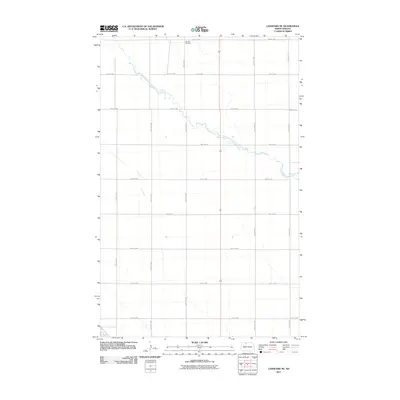
2011 Map of Lansford NE
USGS Topo · Published 2011About this map
Renville Cemetery stands as a quiet landmark in this rural pocket of Bottineau County, where the landscape is defined by the sharp, wandering course of Cut Bank Creek. This 2011 survey by the U.S. Geological Survey illustrates the transition of the northern plains into the modern era, maintaining a strictly regulated grid of section roads like 84th St NW and 30th Ave NW that facilitate the region's agricultural life. The persistence of the cemetery and the natural drainage patterns of the creek provide stable reference points for genealogists and local historians tracing land use in this sparsely settled northern tier of North Dakota.
Find a feature on this map
16 named features on this map. Tap any name to fly to it.
Don’t see what you’re looking for? This feature index may not catch every label — zoom into the map to look around manually.
Map Details
Editions of this 2011 Lansford NE Map
This is the sole edition of this map. No revisions or reprints were ever made.
Other maps of this area

1948 · Dokken SW
USGS Topo · 1:24,000

1948 · Lansford
USGS Topo · 1:62,500

1948 · Lansford SW
USGS Topo · 1:24,000

1949 · Glenburn
USGS Topo · 1:24,000

1949 · Lansford NW
USGS Topo · 1:24,000

1949 · Lansford SW
USGS Topo · 1:24,000

1949 · Lansford SE
USGS Topo · 1:24,000

1949 · Lansford NE
USGS Topo · 1:24,000

1949 · Maxbass
USGS Topo · 1:24,000

1949 · Westhope SW
USGS Topo · 1:24,000