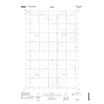
2020 Map of Lansford SE
USGS Topo · Published 2020About this map
The agricultural plains of northern North Dakota are defined by a rigorous section-line grid in this recent survey. The town of Lansford sits in the northwest corner, while the small settlement of Forfar occupies a central position along the county boundary. This landscape transition is marked by the line dividing Bottineau Co and Renville Co, where the flat prairie begins to yield to the drainage patterns of Little Deep Creek. For genealogists and local historians, the presence of Shook Cemetery provides a specific point of interest in the southwestern portion of the sheet. The map illustrates how modern rural life is structured around these historic townships, including t159n r83w and t158n r82w, and the seasonal waterways like Spring Coulee that influence the local topography.
Find a feature on this map
21 named features on this map. Tap any name to fly to it.
Don’t see what you’re looking for? This feature index may not catch every label — zoom into the map to look around manually.
Map Details
Editions of this 2020 Lansford SE Map
This is the sole edition of this map. No revisions or reprints were ever made.
Other maps of this area

1948 · Lansford
USGS Topo · 1:62,500

1948 · Burlington
USGS Topo · 1:62,500

1948 · Lansford SW
USGS Topo · 1:24,000

1949 · Burlington NW
USGS Topo · 1:24,000

1949 · Glenburn
USGS Topo · 1:24,000

1949 · Lansford NW
USGS Topo · 1:24,000

1949 · Lansford SW
USGS Topo · 1:24,000

1949 · Deering NW
USGS Topo · 1:24,000

1949 · Lansford SE
USGS Topo · 1:24,000

1949 · Lansford NE
USGS Topo · 1:24,000