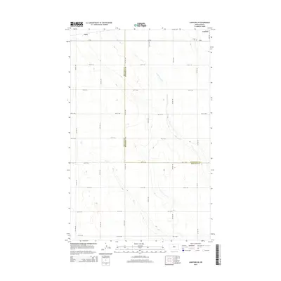
2014 Map of Lansford SW
USGS Topo · Published 2014About this map
Lansford and its immediate rural surroundings sit at the intersection of the Renville County and Bottineau County line in North Dakota. This prairie landscape is defined by the subtle drainage patterns of Little Deep Creek and Egg Cr, which cut through the agricultural grid in the early 21st century. The map highlights the transition from the concentrated street plan of Lansford to the broad, sectioned farm lands accessed by a network of gravel roads like CR-26 and 34th Ave NW. Local history is anchored by the Lansford Cemetery and the small settlement of Chola, offering a clear view of the area's rural development and the precise boundary divisions that shaped this portion of the northern plains.
Find a feature on this map
25 named features on this map. Tap any name to fly to it.
Don’t see what you’re looking for? This feature index may not catch every label — zoom into the map to look around manually.
Map Details
Editions of this 2014 Lansford SW Map
This is the sole edition of this map. No revisions or reprints were ever made.
Other maps of this area

1948 · Lansford
USGS Topo · 1:62,500

1948 · Burlington
USGS Topo · 1:62,500

1948 · Lansford SW
USGS Topo · 1:24,000

1949 · Burlington NW
USGS Topo · 1:24,000

1949 · Lansford NW
USGS Topo · 1:24,000

1949 · Lansford SW
USGS Topo · 1:24,000

1949 · Carpio NE
USGS Topo · 1:24,000

1949 · Grano
USGS Topo · 1:24,000

1949 · Lansford SE
USGS Topo · 1:24,000

1949 · Lansford NE
USGS Topo · 1:24,000