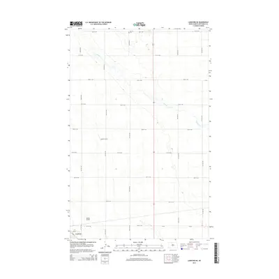
2014 Map of Lansford NE
USGS Topo · Published 2014About this map
The town of Lansford sits at the southwestern edge of this Bottineau County landscape, where the prairie grid of rural roads meets the residential streets of Main St and Laurel St. North of the town center, the terrain is defined by the winding course of Cut Bank Cr and the drainage of Spring Coulee, which cut across the otherwise structured section lines. This area represents the heart of the North Dakota wheat belt, characterized by a highly organized agricultural layout and scattered infrastructure supporting the farming community.
Find a feature on this map
24 named features on this map. Tap any name to fly to it.
Don’t see what you’re looking for? This feature index may not catch every label — zoom into the map to look around manually.
Map Details
Editions of this 2014 Lansford NE Map
This is the sole edition of this map. No revisions or reprints were ever made.
Other maps of this area

1948 · Dokken SW
USGS Topo · 1:24,000

1948 · Lansford
USGS Topo · 1:62,500

1948 · Lansford SW
USGS Topo · 1:24,000

1949 · Glenburn
USGS Topo · 1:24,000

1949 · Lansford NW
USGS Topo · 1:24,000

1949 · Lansford SW
USGS Topo · 1:24,000

1949 · Lansford SE
USGS Topo · 1:24,000

1949 · Lansford NE
USGS Topo · 1:24,000

1949 · Maxbass
USGS Topo · 1:24,000

1949 · Westhope SW
USGS Topo · 1:24,000