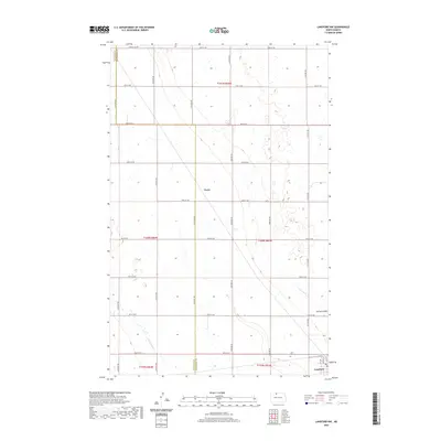
2020 Map of Lansford NW
USGS Topo · Published 2020About this map
Truro and the outskirts of Lansford define the agricultural landscape of the North Dakota prairie in this 2020 U.S. Geological Survey study. Straddling the Renville and Bottineau County line, the territory is organized by a precise grid of gravel roads such as 84th St NW and 34th Ave NW, which carve the plains into expansive sections of farmland. Small drainages like Little Deep Creek and Spring Coulee provide subtle relief to the otherwise level topography of the Souris River basin region.
Find a feature on this map
29 named features on this map. Tap any name to fly to it.
Don’t see what you’re looking for? This feature index may not catch every label — zoom into the map to look around manually.
Map Details
Editions of this 2020 Lansford NW Map
This is the sole edition of this map. No revisions or reprints were ever made.
Other maps of this area

1948 · Dokken SW
USGS Topo · 1:24,000

1948 · Mohall
USGS Topo · 1:24,000

1948 · Lansford
USGS Topo · 1:62,500

1948 · Lansford SW
USGS Topo · 1:24,000

1949 · Lansford NW
USGS Topo · 1:24,000

1949 · Lansford SW
USGS Topo · 1:24,000

1949 · Grano
USGS Topo · 1:24,000

1949 · Lansford SE
USGS Topo · 1:24,000

1949 · Lansford NE
USGS Topo · 1:24,000

1949 · Grano NE
USGS Topo · 1:24,000