Old Maps of Mohall, North Dakota
Explore 15 old maps of Mohall, spanning from 1948 to today. These high-resolution historic maps reveal how streets, neighborhoods, landmarks, and natural features evolved over time — perfect for genealogy, metal detecting, research, and local history exploration.
What you can do with these maps:
- See how Mohall changed over time: Compare historical maps to modern-day views to trace roads, homesites, rail lines & more.
- View detailed metadata: Each map includes creators, publishers, year, scale, and archive source.
- Overlay maps with satellite & LiDAR: Visualize the past alongside modern tools to explore terrain & human change.
- Trusted historical sources: Maps sourced from the USGS, Library of Congress, and other archives.
- Access maps your way: View online, download high-res files, or order prints for personal or research use.
Start exploring old maps of Mohall to uncover forgotten places, hidden landmarks, and the deep history beneath your feet.
Mohall, ND maps
(15)- 1948 Map of Dokken SW
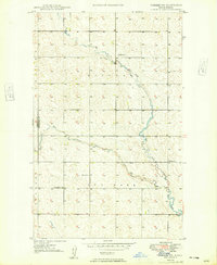 1948 Dokken SW1948 Print · USGSThe northern plains of Bottineau and Renville counties are captured here in the late 1940s as the local creek system converges. Genealogists can locate family burial sites at Brotherhood Cem and Mohall Cem or trace the placement of School No 1.3 unique versions available
 - 1948 Map of Mohall
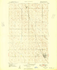 1948 Mohall1948 Print · USGSRenville County, North Dakota, was a landscape of rail-linked prairie towns and grain fields just after the war. Researchers can trace the path of the Great Northern railway as it passes through Mohall and north toward the settlement of Loraine.2 unique versions available
 - 1950 Map of Mohall
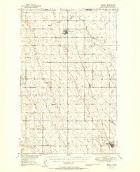 1950 Mohall1950 Print · USGSNorth Dakota's northern borderlands are captured here just after the war, showing the deep-rooted agricultural townships of Renville County. Genealogists can trace family footprints near Union Cem, Hamerly Ch, and the numerous rural schoolhouses like School No 1 scattered along the Great Northern rail line.2 unique versions available
 - 1954 Map of Minot, 1964 Print
 1954 Minot1964 Print · USGSNorth Dakota's northern borderlands are captured here in the mid-fifties, showing a landscape defined by the winding Souris River and the rise of the Turtle Mountains. Genealogists can locate family-named sidings like Hurd Siding and Truro Siding alongside the vital Great Northern rail lines.3 unique versions available
 - 1958 Map of Minot
 1958 Minot1958 Print · USGSNorthern North Dakota is shown here during the mid-fifties, dominated by the rail-driven growth of Minot and the surrounding grain-farming prairie. Genealogists can trace family connections to border towns like Westhope or explore the vast reaches of the Turtle Mountains.
 - 2011 Map of Antler SW, 2011 Print
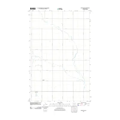 2011 Antler SW2011 Print · USGSCovers Mohall, including Bottineau County, Renville County, and other nearby areas
 - 2011 Map of Mohall, 2011 Print
 2011 Mohall2011 Print · USGSCovers Mohall, including Loraine, Renville County, and other nearby areas
 - 2014 Map of Mohall, 2014 Print
 2014 Mohall2014 Print · USGSCovers Mohall, including Loraine, Renville County, and other nearby areas
 - 2014 Map of Antler SW, 2014 Print
 2014 Antler SW2014 Print · USGSCovers Mohall, including Bottineau County, Renville County, and other nearby areas
 - 2017 Map of Antler SW, 2017 Print
 2017 Antler SW2017 Print · USGSCovers Mohall, including Bottineau County, Renville County, and other nearby areas
 - 2017 Map of Mohall, 2017 Print
 2017 Mohall2017 Print · USGSCovers Mohall, including Loraine, Renville County, and other nearby areas
 - 2020 Map of Mohall, 2020 Print
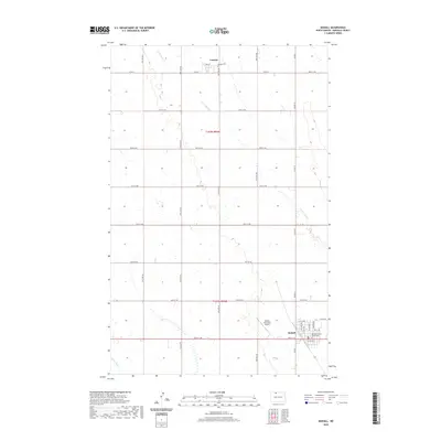 2020 Mohall2020 Print · USGSCovers Mohall, including Loraine, Renville County, and other nearby areas
 - 2020 Map of Antler SW, 2020 Print
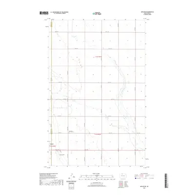 2020 Antler SW2020 Print · USGSCovers Mohall, including Bottineau County, Renville County, and other nearby areas
 - 2024 Map of Antler SW, 2024 Print
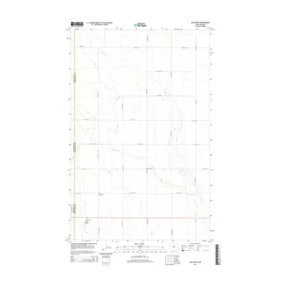
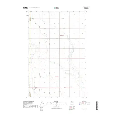
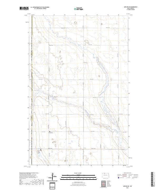 2024 Antler SW2024 Print · USGSThe North Dakota prairie near the Bottineau and Renville county line is captured here in the current era. Researchers can locate family heritage sites like Mohall Cem and Brotherhood Cem / Zoar Cem or trace the waters of Cut Bank Creek.
 - 2024 Map of Mohall, 2024 Print
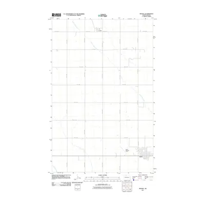
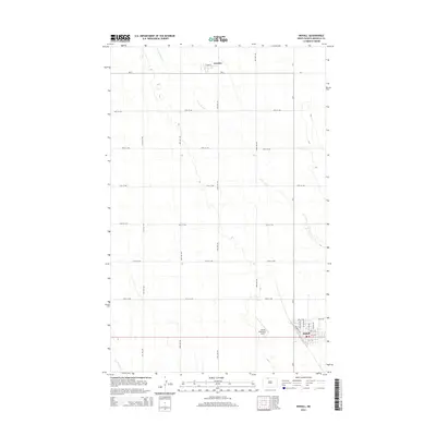
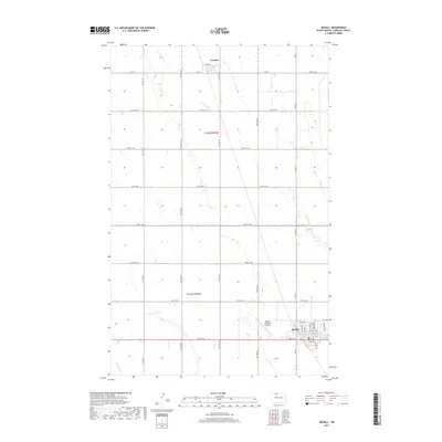
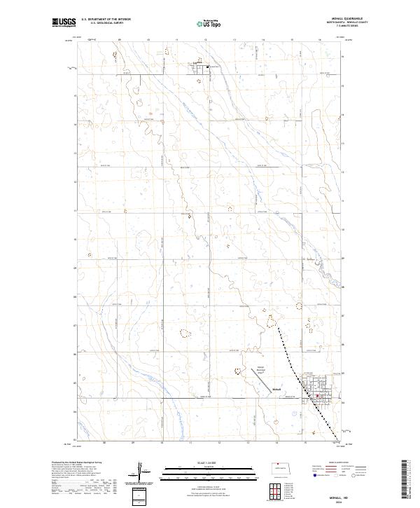 2024 Mohall2024 Print · USGSRenville County's agricultural heartland is documented here in the early twenty-first century, centered on the local seat of government. Genealogists and historians can trace town lots in Mohall, locate the Loraine Cem, and explore the Renville County Waterfowl Production Area.
End of results
Showing maps 1-15 of 15
Top cities near Mohall
- Lansford historical maps
- Sherwood historical maps
- Renville historical maps
- Loraine historical maps
- Grano historical maps
Frequently asked questions
- What are the different types of historical maps available for Mohall?
- What is the oldest map of Mohall?
- Where can I purchase historical maps of Mohall for my home or office?
- Where can I download high-res historical maps of Mohall?
- Are there historical topographic maps available for Mohall?
- Is there historical aerial imagery available for Mohall?
- Where are historical maps of Mohall sourced from?