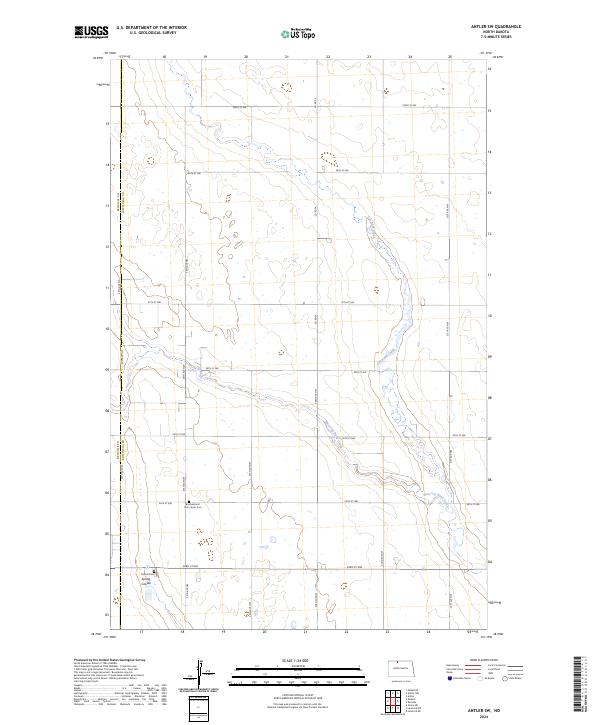
2024 Map of Antler SW
USGS Topo · Published 2024About this map
Cut Bank Creek and its tributary, West Cut Bank Creek, meander through this prairie landscape on the border of Bottineau and Renville counties. The terrain is defined by the Section Land Survey system, with a dense grid of local roads like Co Rd 3A and 100th St NW serving the agricultural plots. The Bottineau County Waterfowl Production Area occupies a significant portion of the central township, preserving the wetland depressions typical of this glaciated region.
Find a feature on this map
24 named features on this map. Tap any name to fly to it.
Don’t see what you’re looking for? This feature index may not catch every label — zoom into the map to look around manually.
Map Details
Editions of this 2024 Antler SW Map
This is the sole edition of this map. No revisions or reprints were ever made.
Other maps of this area

1948 · Dokken SW
USGS Topo · 1:24,000

1948 · Mohall
USGS Topo · 1:24,000

1948 · Lansford
USGS Topo · 1:62,500

1949 · Lansford NW
USGS Topo · 1:24,000

1949 · Mohall NE
USGS Topo · 1:24,000

1949 · Lansford NE
USGS Topo · 1:24,000

1949 · Grano NE
USGS Topo · 1:24,000

1950 · Lansford
USGS Topo · 1:62,500

1950 · Antler NW
USGS Topo · 1:24,000

1950 · Mohall
USGS Topo · 1:62,500