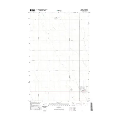
2014 Map of Mohall
USGS Topo · Published 2014About this map
Mohall serves as the primary hub in this corner of Renville County, where the street grid organizes around Railroad Ave and Mohall Municipal Airport. To the north, the small settlement of Loraine sits at the intersection of Main St and CR-4. The landscape is defined by the gentle drainage patterns of W Cut Bank Cr, which meanders southeast toward the larger community. The map illustrates a highly organized agricultural landscape, with a rigid section-line road network including 41st Ave NW and 99th St NW that partitions the prairie. While modern in its data collection, the map preserves the enduring spatial relationship between these prairie towns and the watercourses like Little Deep Cr that dictated early regional development.
Find a feature on this map
28 named features on this map. Tap any name to fly to it.
Don’t see what you’re looking for? This feature index may not catch every label — zoom into the map to look around manually.
Map Details
Editions of this 2014 Mohall Map
This is the sole edition of this map. No revisions or reprints were ever made.
Other maps of this area

1948 · Dokken SW
USGS Topo · 1:24,000

1948 · Mohall
USGS Topo · 1:24,000

1948 · Lansford
USGS Topo · 1:62,500

1949 · Lansford NW
USGS Topo · 1:24,000

1949 · Mohall SW
USGS Topo · 1:24,000

1949 · Mohall NE
USGS Topo · 1:24,000

1949 · Sherwood
USGS Topo · 1:24,000

1949 · Greene
USGS Topo · 1:24,000

1949 · Grano NE
USGS Topo · 1:24,000

1950 · Lansford
USGS Topo · 1:62,500