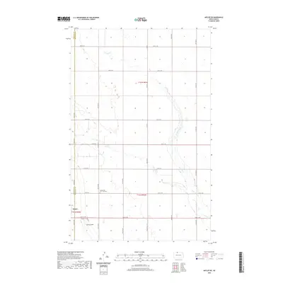
2020 Map of Antler SW
USGS Topo · Published 2020About this map
Mohall sits on the western edge of this agricultural landscape, situated at the boundary of Renville and Bottineau counties. The terrain is defined by the winding paths of Cut Bank Creek and West Cut Bank Creek, which meander through the prairie alongside Spring Coulee. These waterways have historically dictated the placement of roads and farmsteads in this part of North Dakota. For local historians and genealogists, the map identifies specific burial sites including the Mohall Cemetery near the town center and the Brotherhood Cem / Zoar Cem further east, providing clear spatial context for early families of the region.
Find a feature on this map
25 named features on this map. Tap any name to fly to it.
Don’t see what you’re looking for? This feature index may not catch every label — zoom into the map to look around manually.
Map Details
Editions of this 2020 Antler SW Map
This is the sole edition of this map. No revisions or reprints were ever made.
Other maps of this area

1948 · Dokken SW
USGS Topo · 1:24,000

1948 · Mohall
USGS Topo · 1:24,000

1948 · Lansford
USGS Topo · 1:62,500

1949 · Lansford NW
USGS Topo · 1:24,000

1949 · Mohall NE
USGS Topo · 1:24,000

1949 · Lansford NE
USGS Topo · 1:24,000

1949 · Grano NE
USGS Topo · 1:24,000

1950 · Lansford
USGS Topo · 1:62,500

1950 · Antler NW
USGS Topo · 1:24,000

1950 · Mohall
USGS Topo · 1:62,500