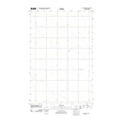
2011 Map of Lansford SE
USGS Topo · Published 2011About this map
Little Deep Creek meanders through this portion of Bottineau County, defining the primary drainage for a landscape organized by a precise grid of rural section roads. The small settlement of Forfar sits as a central landmark amidst the agricultural expanse, where the intersection of north-south avenues and east-west streets reflects the systematic division of the North Dakota prairie. This 2011 survey, produced by the U. S. Geological Survey, illustrates the persistence of these rural township patterns into the early 21st century. Navigated by routes like County Rd 26A and 83rd St NW, the map provides a clear view of the sparse residential distribution and the essential watercourses that have historically shaped land use in this part of the state.
Find a feature on this map
17 named features on this map. Tap any name to fly to it.
Don’t see what you’re looking for? This feature index may not catch every label — zoom into the map to look around manually.
Map Details
Editions of this 2011 Lansford SE Map
This is the sole edition of this map. No revisions or reprints were ever made.
Other maps of this area

1948 · Lansford
USGS Topo · 1:62,500

1948 · Burlington
USGS Topo · 1:62,500

1948 · Lansford SW
USGS Topo · 1:24,000

1949 · Burlington NW
USGS Topo · 1:24,000

1949 · Glenburn
USGS Topo · 1:24,000

1949 · Lansford NW
USGS Topo · 1:24,000

1949 · Lansford SW
USGS Topo · 1:24,000

1949 · Deering NW
USGS Topo · 1:24,000

1949 · Lansford SE
USGS Topo · 1:24,000

1949 · Lansford NE
USGS Topo · 1:24,000