2020s Maps of Lansford, North Dakota
Explore 8 historic maps of Lansford from the 2020s. These maps offer a rare glimpse into what life looked like during the 2020s — showing old roads, neighborhoods, homes, and landmarks that have changed or disappeared over time.
Whether you're researching your family's past, planning a metal detecting trip, or studying how Lansford's landscape evolved across the 2020s, these high-resolution maps are a powerful tool for exploring the history of this region.
- Focus on a specific era: All maps on this page are from the 2020s, giving you a focused view of this time period.
- See what’s changed: Compare century-old streets, trails, and buildings to today's modern landscape using overlays and satellite layers.
- Research with precision: Use these maps for genealogy, historical research, land use analysis, or educational projects.
- View, download, or print: Maps are fully viewable online in high resolution, and can be downloaded or printed for your own records.
Start exploring Lansford's history through authentic maps from the 2020s. This is your window into the past.
Lansford, ND maps
(8)- 2020 Map of Lansford SE, 2020 Print
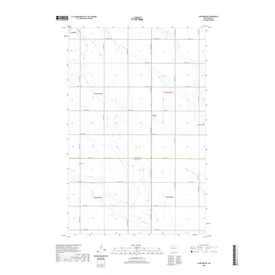 2020 Lansford SE2020 Print · USGSCovers Lansford, including Forfar, Bottineau County, and other nearby areas
 - 2020 Map of Lansford SW, 2020 Print
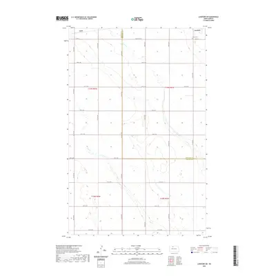 2020 Lansford SW2020 Print · USGSCovers Lansford, including Chola, Bottineau County, and other nearby areas
 - 2020 Map of Lansford NW, 2020 Print
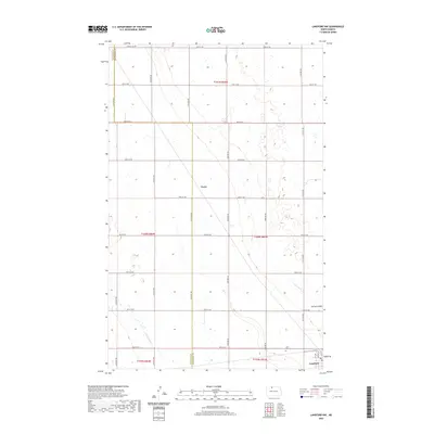 2020 Lansford NW2020 Print · USGSCovers Lansford, including Truro, Bottineau County, and other nearby areas
 - 2020 Map of Lansford NE, 2020 Print
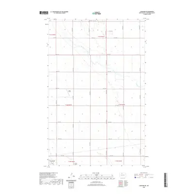 2020 Lansford NE2020 Print · USGSCovers Lansford, including Bottineau County, United States, and other nearby areas
 - 2024 Map of Lansford SE, 2024 Print
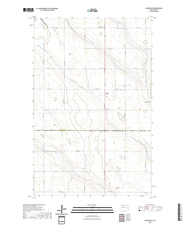 2024 Lansford SE2024 Print · USGSThe rural borderlands of Bottineau and Renville Counties are captured here in the mid-2020s, showing a meticulously gridded landscape of agricultural roads. Researchers can locate the Shook Cem, the settlement of Forfar, and the protected wetlands of the Bottineau County Waterfowl Production Area.
 - 2024 Map of Lansford NE, 2024 Print
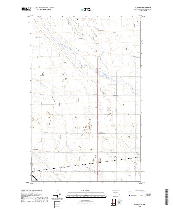 2024 Lansford NE2024 Print · USGSBottineau County's agricultural heartland is documented here in the early twenty-first century, showing the enduring township and range grid. Genealogists and local historians can locate the Renville Cem or trace rural landmarks like the Undlin Airstrip and Cut Bank Creek.
 - 2024 Map of Lansford SW, 2024 Print
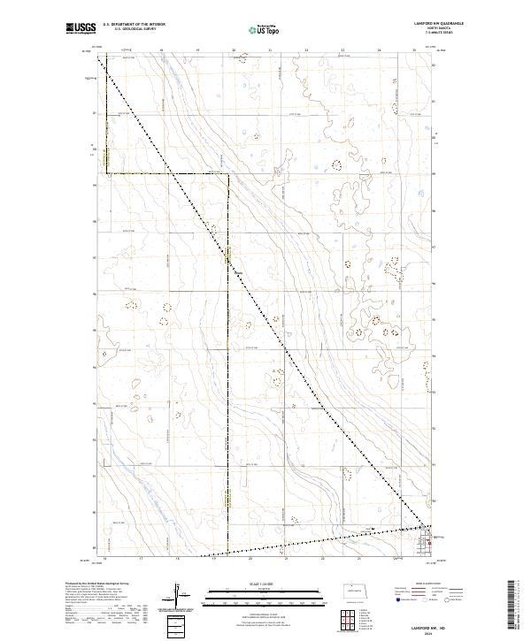
 2024 Lansford SW2024 Print · USGSRenville and Bottineau counties meet in this contemporary survey of the North Dakota prairie, where the rural grid dictates the flow of life. Researchers can trace land ownership and family roots near Chola, Lansford Cem, and the banks of Egg Creek.
 - 2024 Map of Lansford NW, 2024 Print
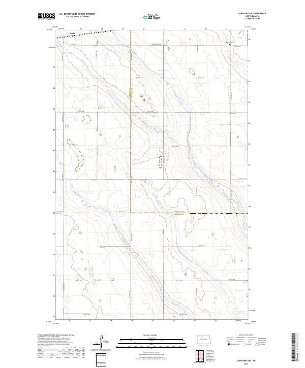
 2024 Lansford NW2024 Print · USGSThe North Dakota prairie at the border of Renville and Bottineau counties remains a landscape of traditional section-line farming. Researchers can locate the rural settlement of Truro and the quiet grounds of Saint Johns Cem near the headwaters of Little Deep Creek.
End of results
Showing maps 1-8 of 8
Top cities near Lansford
Frequently asked questions
- What are the different types of historical maps available for Lansford?
- What is the oldest map of Lansford?
- Where can I purchase historical maps of Lansford for my home or office?
- Where can I download high-res historical maps of Lansford?
- Are there historical topographic maps available for Lansford?
- Is there historical aerial imagery available for Lansford?
- Where are historical maps of Lansford sourced from?