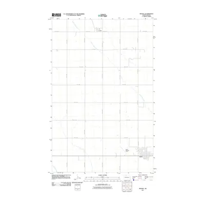
2011 Map of Mohall
USGS Topo · Published 2011About this map
The agricultural town of Mohall serves as the focal point for this survey of Renville County in the early 2010s. The landscape is defined by the rigid section lines of the Public Land Survey System, expressed through an extensive grid of local roads like 40th Ave NW and 96th St NW. To the north, the small settlement of Loraine sits along County Rd 4, providing a secondary point of habitation in this expansive prairie environment. The hydrology of the region is traced by the meandering paths of West Cut Bank Creek and Little Deep Creek, which provide a natural contrast to the geometric precision of the surrounding farms. Near the southeastern corner, the Mohall Municipal Airport is clearly delineated alongside the town's residential and commercial blocks, reflecting the local infrastructure supporting this North Dakota farming community.
Find a feature on this map
18 named features on this map. Tap any name to fly to it.
Don’t see what you’re looking for? This feature index may not catch every label — zoom into the map to look around manually.
Map Details
Editions of this 2011 Mohall Map
This is the sole edition of this map. No revisions or reprints were ever made.
Other maps of this area

1948 · Dokken SW
USGS Topo · 1:24,000

1948 · Mohall
USGS Topo · 1:24,000

1948 · Lansford
USGS Topo · 1:62,500

1949 · Lansford NW
USGS Topo · 1:24,000

1949 · Mohall SW
USGS Topo · 1:24,000

1949 · Mohall NE
USGS Topo · 1:24,000

1949 · Sherwood
USGS Topo · 1:24,000

1949 · Greene
USGS Topo · 1:24,000

1949 · Grano NE
USGS Topo · 1:24,000

1950 · Lansford
USGS Topo · 1:62,500