
1948 Map of Minot NW
USGS Topo · Published 1976About this map
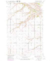
The Souris River carves a significant valley through this landscape north of Minot, defining the area's drainage and topography. Two major rail lines, the Great Northern and the Minneapolis St Paul and Sault Ste Marie, traverse the northern reaches, signaling the region's importance as a transportation corridor during the late 1940s. The upland prairie is marked by a network of drainage features like Gassman Coulee and Larson Coulee, while the rural social fabric is anchored by small nodes such as Ralston and Drady. The presence of several rural schoolhouses, including School No 1 and School No 2, reflects the distributed agrarian population of the era before mid-century school consolidations significantly altered the rural educational landscape.
Find a feature on this map
14 named features on this map. Tap any name to fly to it.
Don’t see what you’re looking for? This feature index may not catch every label — zoom into the map to look around manually.
Map Details
Editions of this 1948 Minot NW Map
2 editions found
Other maps of this area

1928 · Minot
USGS Topo · 1:62,500

1948 · Burlington
USGS Topo · 1:24,000

1948 · Burlington
USGS Topo · 1:62,500

1949 · Minot NW
USGS Topo · 1:24,000

1949 · Burlington SE
USGS Topo · 1:24,000

1949 · Minot
USGS Topo · 1:24,000

1950 · Des Lacs
USGS Topo · 1:24,000
1950 · Burlington
USGS Topo · 1:24,000
1951 · Burlington
USGS Topo · 1:62,500

1954 · Minot
USGS Topo · 1:250,000