
1949 Map of Deering SW
USGS Topo · Published 1949About this map
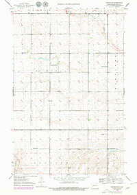
The rural landscapes of Ward County appear here in a post-war state, characterized by a dispersed settlement pattern and a reliance on local township centers. The townships of McKinley, Maryland, Newbrose, and Surrey divide the terrain, which is dotted with numerous small wetlands and basins. Education in the late 1940s remained decentralized, as evidenced by a numbered system of rural schoolhouses such as School No 1, School No 2, and School No 3 scattered across the prairies. These sites, along with Emmanuel Ch, served as the primary social anchors for the surrounding farming community. The drainage is defined by the winding course of Egg Creek in the north and Livingston Creek to the southwest. A lone Radio Sta near the eastern boundary represents the technological footprint of the era in this largely agricultural region.
Find a feature on this map
12 named features on this map. Tap any name to fly to it.
Don’t see what you’re looking for? This feature index may not catch every label — zoom into the map to look around manually.
Map Details
Editions of this 1949 Deering SW Map
3 editions found
Other maps of this area

1928 · Minot
USGS Topo · 1:62,500

1929 · Sawyer
USGS Topo · 1:62,500

1948 · Burlington
USGS Topo · 1:62,500

1948 · Surrey
USGS Topo · 1:24,000

1949 · Sawyer NE
USGS Topo · 1:24,000

1949 · Deering NW
USGS Topo · 1:24,000

1949 · Deering SE
USGS Topo · 1:24,000

1949 · Burlington SE
USGS Topo · 1:24,000

1949 · Surrey
USGS Topo · 1:24,000

1949 · Minot
USGS Topo · 1:24,000