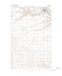
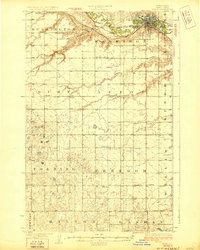
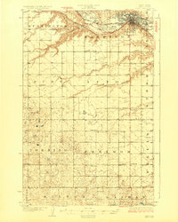
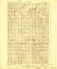
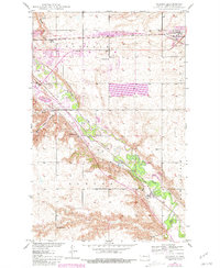
1928 Map of Minot
USGS Topo · Published 1928About this map
Minot sits at the northern edge of this 1920s survey, showing a bustling rail hub where the Great Northern railroad tracks parallel the winding path of the Souris River. This period of growth is evident in the detailed street grid of the city, adjacent to the local Fair Grounds and a large Cem on the eastern outskirts. The map captures the transition from the concentrated urban center of Ward County to the sprawling agricultural townships of Harrison, Nedrose, and Burlington.
Find a feature on this map
36 named features on this map. Tap any name to fly to it.
Don’t see what you’re looking for? This feature index may not catch every label — zoom into the map to look around manually.
Map Details
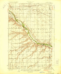
Editions of this 1928 Minot Map
Other maps of this area
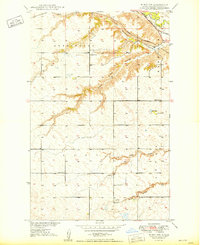
1928 · Minot
USGS Topo · 1:62,500
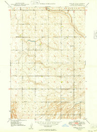
1929 · Sawyer
USGS Topo · 1:62,500
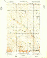
1929 · Benedict
USGS Topo · 1:62,500
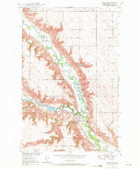
1948 · Burlington
USGS Topo · 1:24,000
1948 · Burlington
USGS Topo · 1:62,500
1948 · Minot NW
USGS Topo · 1:24,000
1948 · Surrey
USGS Topo · 1:24,000
1949 · Minot NW
USGS Topo · 1:24,000
1949 · Deering SW
USGS Topo · 1:24,000
1949 · Burlington SE
USGS Topo · 1:24,000