1980 Map of Minot
USGS Topo · Published 1980About this map
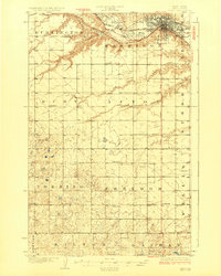
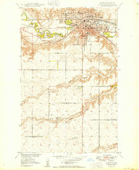
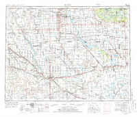
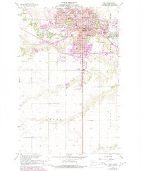
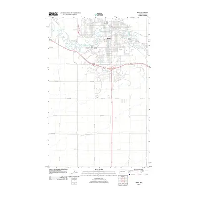
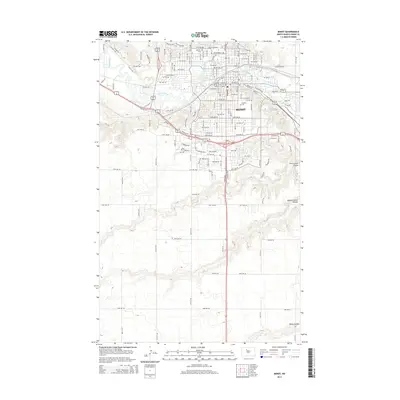
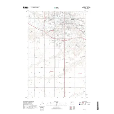
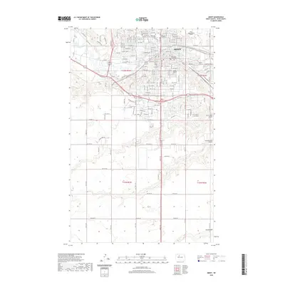
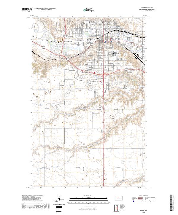
Minot serves as the focal point for this 1980 survey, where the Souris River and Des Lacs River converge amidst an intricate network of drainage coulees. The landscape is defined by the heavy footprint of the Burlington Northern and Soo Line railroads, which connect agricultural hubs like Berthold, Carpio, and Sawyer. North of the city, the Minot Air Force Base stands as a significant Cold War-era installation, while the Upper Souris National Wildlife Refuge and Lake Darling protect the river valley's natural riparian corridors. The map reveals the extensive National Waterfowl Production Area lands that dot the prairie, punctuated by topographical landmarks such as Lookout Point and Twin Buttes. Smaller settlements and siding stops like Foxholm, Ruthville, and Logan highlight the rural development patterns of Ward County during the late twentieth century.
Find a feature on this map
79 named features on this map. Tap any name to fly to it.
Don’t see what you’re looking for? This feature index may not catch every label — zoom into the map to look around manually.
Map Details
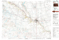
Editions of this 1980 Minot Map
This is the sole edition of this map. No revisions or reprints were ever made.
Historical Maps of Minot Through Time
11 maps found