
1929 Map of Coleharbor
USGS Topo · Published 1929About this map
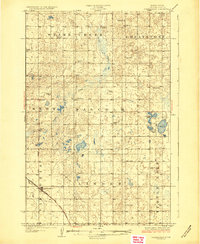
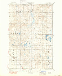
Coleharbor sits as a primary rail hub in this prairie landscape, where the Minneapolis St Paul and Sault Ste Marie line cuts a diagonal path through the township of Victoria. The map reveals a highly organized rural structure, dotted with numbered country schools like School No 1 and School No 2 that served the dispersed farming community. Water dominates the eastern and northern reaches, defined by the winding course of Snake Creek and the significant basins of Crooked Lake and Turtle Lake. These natural features provided vital resources in a region divided into large land tracts such as Malcolm and Linde R. The presence of the Fisher Sch near the edge of the survey suggests the importance of localized education centers for the families settling these McLean County townships during the mid-1920s.
Find a feature on this map
26 named features on this map. Tap any name to fly to it.
Don’t see what you’re looking for? This feature index may not catch every label — zoom into the map to look around manually.
Map Details
Editions of this 1929 Coleharbor Map
3 editions found
Other maps of this area

1922 · Garrison
USGS Topo · 1:62,500

1929 · Benedict
USGS Topo · 1:62,500

1929 · Kongsberg
USGS Topo · 1:62,500

1947 · Turtle Lake
USGS Topo · 1:62,500

1948 · Stanton
USGS Topo · 1:62,500

1949 · Stanton
USGS Topo · 1:62,500

1949 · Turtle Creek
USGS Topo · 1:62,500

1949 · Washburn
USGS Topo · 1:62,500

1954 · McClusky
USGS Topo · 1:250,000

1958 · McClusky
USGS Topo · 1:250,000