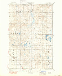
1929 Map of Coleharbor
USGS Topo · Published 1950About this map
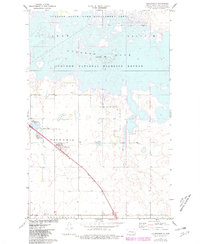
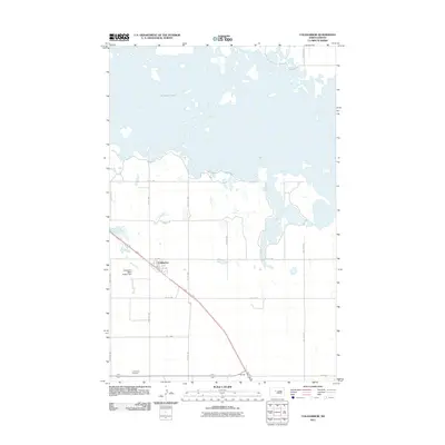
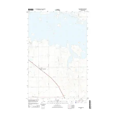
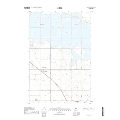
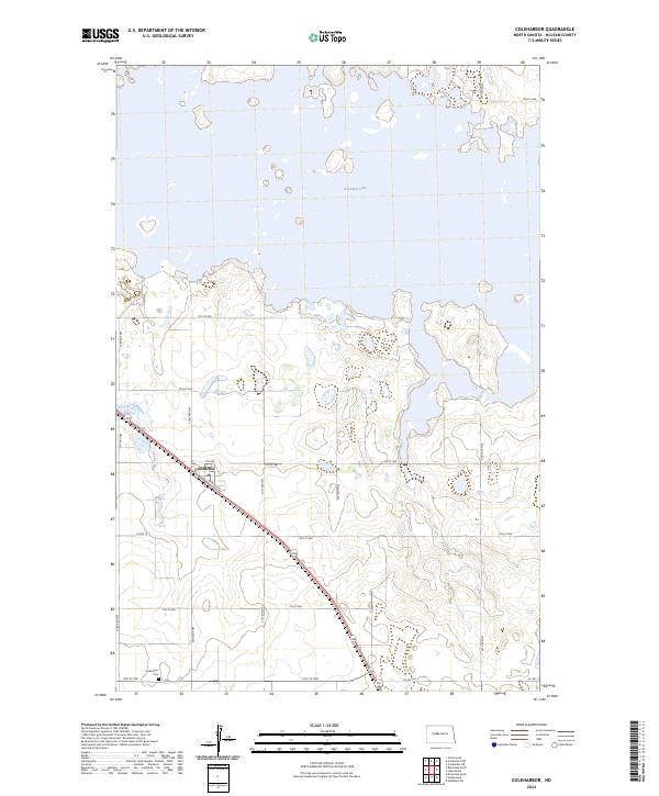
Coleharbor anchors the southwestern portion of this prairie landscape during a period of established rail transport and rural educational development. The Minneapolis St Paul and Sault Ste Marie railroad cuts across the southern territory, providing a vital connection for this McLean County community. The terrain is defined by a dense network of township schools, including School No 1 and Fisher Sch, revealing the high density of small family farms that once populated the townships of Snake Creek, Greatstone, and Malcolm. Water features such as Crooked Lake and the winding course of Snake Creek break up the agricultural grid, which is further serviced by an early State Highway. This map reflects the pre-reservoir geography of the region, showing the natural drainage patterns and land divisions before major mid-century hydrological changes altered the local basin.
Find a feature on this map
19 named features on this map. Tap any name to fly to it.
Don’t see what you’re looking for? This feature index may not catch every label — zoom into the map to look around manually.
Map Details
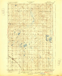
Editions of this 1929 Coleharbor Map
3 editions found
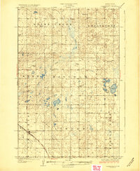
Historical Maps of Coleharbor Through Time
7 maps found