Loading...
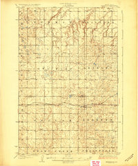
Loading map...1929 Map of Benedict
USGS Topo · Published 1929About this map
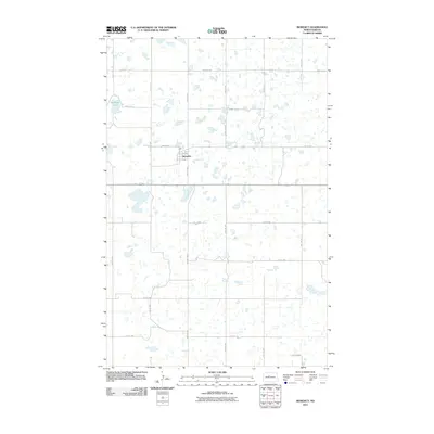
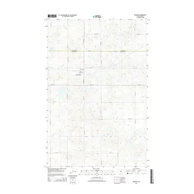
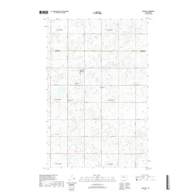
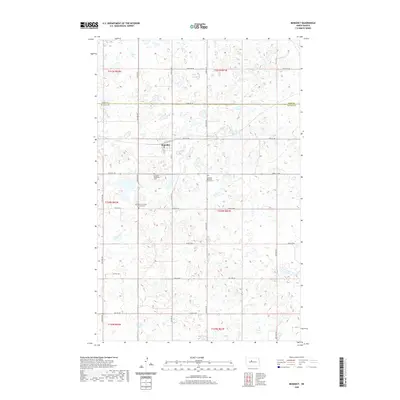
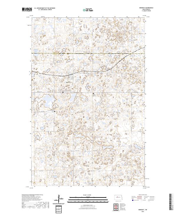
Benedict serves as the primary rail hub in this northern plains landscape, situated along the Minneapolis Sault Ste Marie and St Paul railroad line. The terrain is characterized by a dense network of local township schools, such as School No 1 and School No 4, which were the heart of rural education for homesteading families in the late 1920s. This survey, conducted by B.H. Yoakum and C.N. Mortenson, meticulously documents the transition from Ward Co into McLean County, illustrating the systematic land division of the era.
Find a feature on this map
17 named features on this map. Tap any name to fly to it.
Don’t see what you’re looking for? This feature index may not catch every label — zoom into the map to look around manually.
Map Details
Date Portrayed1929
Date Published1929
PublisherU.S. Geological Survey
Map TypeTopographic
Scale1:62,500
Physical Dimensions16.5 x 19.8 inches
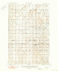
Editions of this 1929 Benedict Map
3 editions found
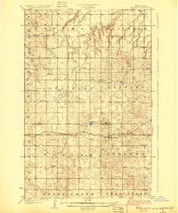
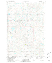
Historical Maps of Benedict Through Time
7 maps found
Featured Locations
Source Details
SourceU.S. Geological Survey
CopyrightPublic Domain