Old Maps of Bantry, North Dakota
Explore 17 old maps of Bantry, spanning from 1949 to today. These high-resolution historic maps reveal how streets, neighborhoods, landmarks, and natural features evolved over time — perfect for genealogy, metal detecting, research, and local history exploration.
What you can do with these maps:
- See how Bantry changed over time: Compare historical maps to modern-day views to trace roads, homesites, rail lines & more.
- View detailed metadata: Each map includes creators, publishers, year, scale, and archive source.
- Overlay maps with satellite & LiDAR: Visualize the past alongside modern tools to explore terrain & human change.
- Trusted historical sources: Maps sourced from the USGS, Library of Congress, and other archives.
- Access maps your way: View online, download high-res files, or order prints for personal or research use.
Start exploring old maps of Bantry to uncover forgotten places, hidden landmarks, and the deep history beneath your feet.
Bantry, ND maps
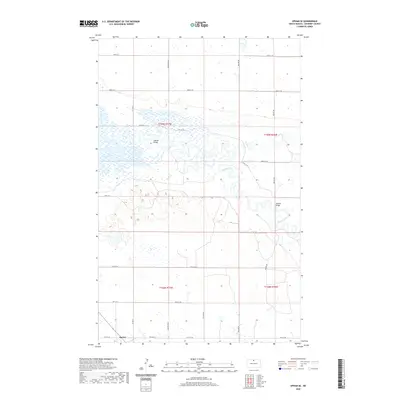
(17)- 1949 Map of Bantry, 1981 Print
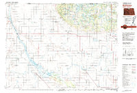
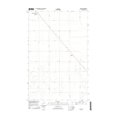
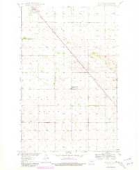 1949 Bantry1981 Print · USGSMcHenry County, North Dakota, is captured here during the mid-century as it balanced its railroad-dependent economy with rural agricultural development. Genealogists and local historians can trace the sites of Medicine Lodge School No 3, the town of Bantry, and the small Cem near the Wagar border.
 - 1950 Map of Upham SE
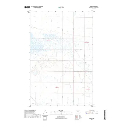
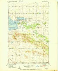 1950 Upham SE1950 Print · USGSMcHenry County, North Dakota, is shown here in the mid-twentieth century as a vital conservation and transport corridor. Genealogists and historians can trace rural school locations like Elm Grove Sch No 1 and old rail lines including the Great Northern near Bantory.
 - 1950 Map of Bantry
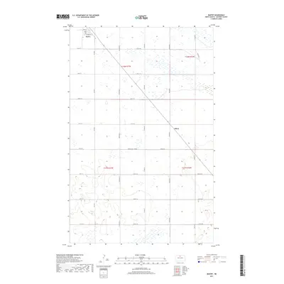
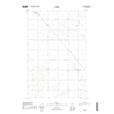
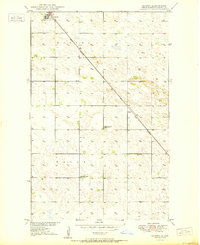 1950 Bantry1950 Print · USGSBantry and the North Dakota prairie are captured here in the mid-century as part of the Missouri River Basin development program. Genealogists and local historians can trace the diagonal path of the Great Northern railroad and locate rural landmarks like Medicine Lodge School No 1 and the settlement of Milroy.
 - 1954 Map of Minot, 1964 Print
 1954 Minot1964 Print · USGSNorth Dakota's northern borderlands are captured here in the mid-fifties, showing a landscape defined by the winding Souris River and the rise of the Turtle Mountains. Genealogists can locate family-named sidings like Hurd Siding and Truro Siding alongside the vital Great Northern rail lines.3 unique versions available
 - 1958 Map of Minot
 1958 Minot1958 Print · USGSNorthern North Dakota is shown here during the mid-fifties, dominated by the rail-driven growth of Minot and the surrounding grain-farming prairie. Genealogists can trace family connections to border towns like Westhope or explore the vast reaches of the Turtle Mountains.
 - 1980 Map of Velva
 1980 Velva1980 Print · USGSNorth-central North Dakota comes into focus during the late twentieth century as a landscape of vital wetlands and rail-dependent grain towns. You can trace the Burlington Northern line through Towner or explore the protected prairie potholes of the J Clark Salyer National Wildlife Refuge.
 - 1980 Map of Bottineau
 1980 Bottineau1980 Print · USGSNorth Dakota's northern borderlands are shown here in the 1980s, where the high wooded hills of the Turtle Mountains meet the Souris River valley. Genealogists and historians can trace the rail networks of the Soo Line and locate landmarks like San Haven, Butte St Paul, and the International Peace Garden.
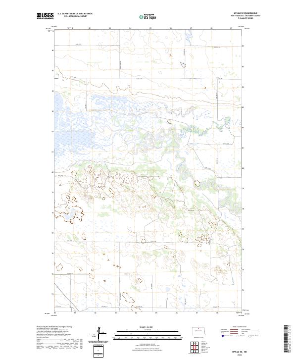
 - 2011 Map of Upham SE, 2011 Print
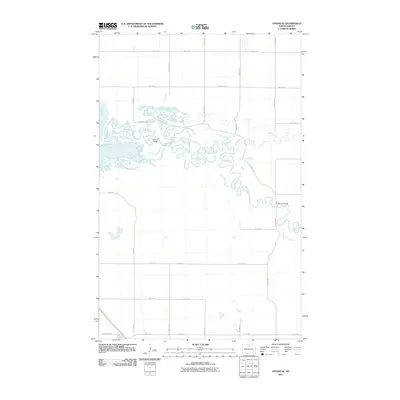 2011 Upham SE2011 Print · USGSCovers Bantry, including McHenry County, United States, and other nearby areas
 - 2011 Map of Bantry, 2011 Print
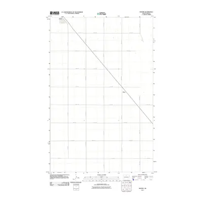 2011 Bantry2011 Print · USGSCovers Bantry, including Milroy, McHenry County, and other nearby areas
 - 2014 Map of Upham SE, 2014 Print
 2014 Upham SE2014 Print · USGSCovers Bantry, including McHenry County, United States, and other nearby areas
 - 2014 Map of Bantry, 2014 Print
 2014 Bantry2014 Print · USGSCovers Bantry, including Milroy, McHenry County, and other nearby areas
 - 2017 Map of Upham SE, 2017 Print
 2017 Upham SE2017 Print · USGSCovers Bantry, including McHenry County, United States, and other nearby areas
 - 2017 Map of Bantry, 2017 Print
 2017 Bantry2017 Print · USGSCovers Bantry, including Milroy, McHenry County, and other nearby areas
 - 2020 Map of Bantry, 2020 Print
 2020 Bantry2020 Print · USGSCovers Bantry, including Milroy, McHenry County, and other nearby areas
 - 2020 Map of Upham SE, 2020 Print
 2020 Upham SE2020 Print · USGSCovers Bantry, including McHenry County, United States, and other nearby areas
 - 2024 Map of Upham SE, 2024 Print
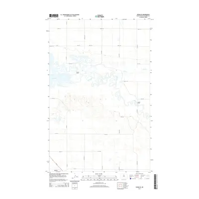
 2024 Upham SE2024 Print · USGSMcHenry County's riparian landscape is defined by the winding Souris River and the expansive J. Clark Salyer National Wildlife Refuge in the 2020s. Genealogists and researchers can trace the intersection of rural section roads like Co Hwy 17 with the wetlands of Willow Creek.
 - 2024 Map of Bantry, 2024 Print
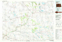
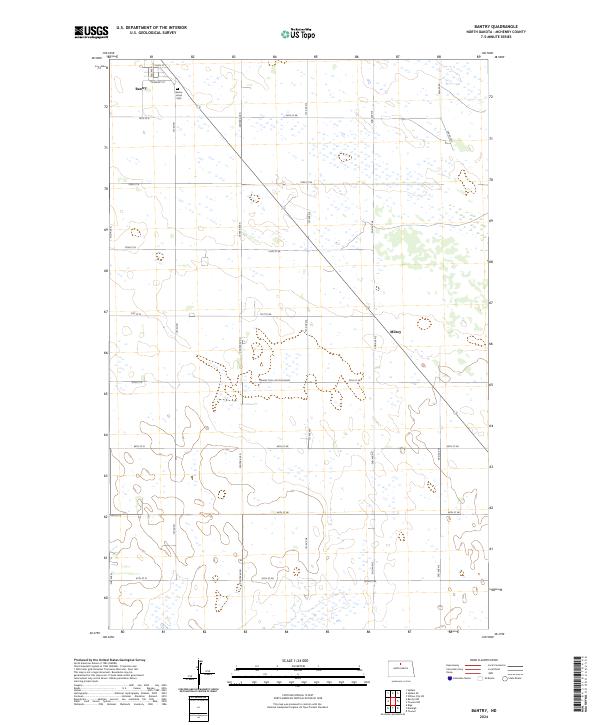 2024 Bantry2024 Print · USGSBantry and the wide prairies of McHenry County are shown here in recent detail, preserving the layout of this rural community. Researchers can locate the Bantry Union Cem and trace the paths of Main St and the Prairie Trail South Bound.
End of results
Showing maps 1-17 of 17
Top cities near Bantry
- Towner historical maps
- Upham historical maps
- Riga historical maps
- Denbigh historical maps
- Kramer historical maps
- Gardena historical maps
Frequently asked questions
- What are the different types of historical maps available for Bantry?
- What is the oldest map of Bantry?
- Where can I purchase historical maps of Bantry for my home or office?
- Where can I download high-res historical maps of Bantry?
- Are there historical topographic maps available for Bantry?
- Is there historical aerial imagery available for Bantry?
- Where are historical maps of Bantry sourced from?