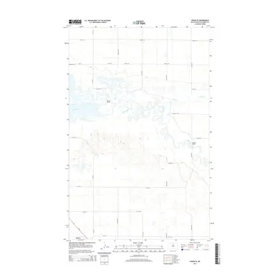
2014 Map of Upham SE
USGS Topo · Published 2014About this map
Souris River meanders extensively through this McHenry County landscape, creating a complex network of oxbows and wetlands that define the local geography. The settlement of Bantry sits at the southern edge of the survey, where ND-14 provides the primary north-south transit corridor. The map reveals the intricate water management and crossing points essential to the area, specifically identifying Hillman Bridge and Johnson Bridge as key infrastructure over the river and its tributary, Willow Cr. Genealogy researchers will find the Melankton Cem located in the northwest quadrant along CR-16, positioned amidst a strictly organized grid of rural section roads. This survey illustrates the persistence of a remote prairie community and its relationship with the fluctuating water levels of the Souris basin in the early 21st century.
Find a feature on this map
24 named features on this map. Tap any name to fly to it.
Don’t see what you’re looking for? This feature index may not catch every label — zoom into the map to look around manually.
Map Details
Editions of this 2014 Upham SE Map
This is the sole edition of this map. No revisions or reprints were ever made.
Other maps of this area
1949 · Kramer
USGS Topo · 1:24,000
1949 · Bantry
USGS Topo · 1:24,000
1950 · Kramer
USGS Topo · 1:24,000
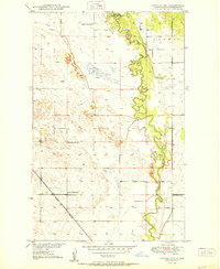
1950 · Towner NW
USGS Topo · 1:24,000
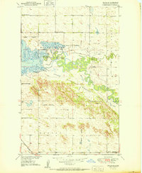
1950 · Upham SE
USGS Topo · 1:24,000
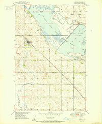
1950 · Upham
USGS Topo · 1:24,000
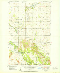
1950 · Willow City SW
USGS Topo · 1:24,000
1950 · Bantry NW
USGS Topo · 1:24,000
1950 · Bantry
USGS Topo · 1:24,000
1954 · Gardena
USGS Topo · 1:24,000