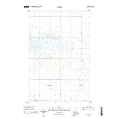
2020 Map of Upham SE
USGS Topo · Published 2020About this map
Bantry stands at the southern edge of this McHenry County landscape, situated near the intersection of Co Hwy 17 and several local section lines. The terrain is defined by the winding course of the Souris River, which meanders through the central and western portions of the quadrangle. The river’s complex oxbows and floodplains suggest a dynamic hydrological environment, bridged at key points by the Hillman Bridge and Johnson Bridge. To the east, Willow Cr feeds into this drainage system, cutting through a landscape primarily organized by a rigid grid of rural roads like Central Ave N and 83rd St N. This mapping captures the region's agricultural layout, where the natural watercourses provide a sharp contrast to the precise township and range boundaries that govern the prairie.
Find a feature on this map
31 named features on this map. Tap any name to fly to it.
Don’t see what you’re looking for? This feature index may not catch every label — zoom into the map to look around manually.
Map Details
Editions of this 2020 Upham SE Map
This is the sole edition of this map. No revisions or reprints were ever made.
Other maps of this area
1949 · Kramer
USGS Topo · 1:24,000
1949 · Bantry
USGS Topo · 1:24,000
1950 · Kramer
USGS Topo · 1:24,000
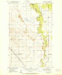
1950 · Towner NW
USGS Topo · 1:24,000
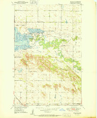
1950 · Upham SE
USGS Topo · 1:24,000
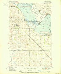
1950 · Upham
USGS Topo · 1:24,000
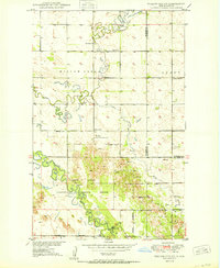
1950 · Willow City SW
USGS Topo · 1:24,000
1950 · Bantry NW
USGS Topo · 1:24,000
1950 · Bantry
USGS Topo · 1:24,000
1954 · Gardena
USGS Topo · 1:24,000