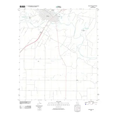
2010 Map of Ballinger
USGS Topo · Published 2010About this map
Ballinger stands at the confluence where Elm Creek meets the north bank of the Colorado River, serving as a central hub for the surrounding West Texas ranching and agricultural lands. The landscape is defined by the winding river and its numerous tributaries, including Sand Branch, Stag Branch, and Bears Foot Creek. The town's layout shows a dense grid transitioning into rural farm-to-market roads, such as FM 2133, which leads past the Evergreen Cemetery toward the southwest. Water management is a visible priority for this arid region, evidenced by Lee Lake Dam and Country Club Lake Dam, along with smaller impoundments like Texas Noname Number 13. Further south, the rural community of Bethel and the expanse of Bruce Field illustrate the low-density settlement patterns typical of Runnels County in the early 21st century.
Find a feature on this map
48 named features on this map. Tap any name to fly to it.
Don’t see what you’re looking for? This feature index may not catch every label — zoom into the map to look around manually.
Map Details
Editions of this 2010 Ballinger Map
This is the sole edition of this map. No revisions or reprints were ever made.
Other maps of this area

1891 · Hayrick
USGS Topo · 1:125,000

1892 · Ballinger
USGS Topo · 1:125,000

1894 · Hayrick
USGS Topo · 1:125,000

1921 · Hatchel
USGS Topo · 1:31,680

1921 · Lowake
USGS Topo · 1:31,680

1921 · Quarry Creek
USGS Topo · 1:31,680

1921 · Spur Creek
USGS Topo · 1:31,680

1921 · Rowena
USGS Topo · 1:31,680

1925 · Ballinger 3-d
USGS Topo · 1:48,000

1932 · Paint Rock
USGS Topo · 1:62,500