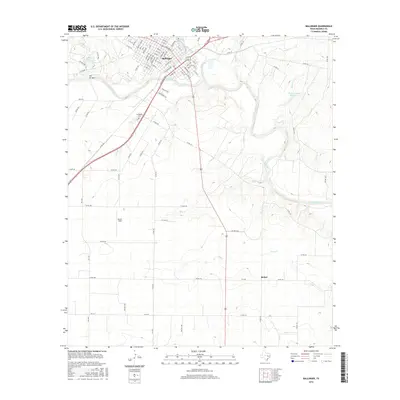
2016 Map of Ballinger
USGS Topo · Published 2016About this map
The Colorado River and Elm Creek converge at Ballinger, anchoring a landscape shaped by water and rail transport. The city's grid is dense with named thoroughfares like N Broadway St and Hutchings Ave, which align with the BNSF Railway corridor. This transport nexus supported the region's agricultural development, visible in the network of county roads extending into the surrounding terrain. To the southwest, Evergreen Cem and Bruce Field stand near the highway approach, while the rural settlement of Bethel lies to the southeast among the drainage of Pony Cr. The map captures a sophisticated water management system, including Elm Creek Lake, Lee Lake, and Country Club Lake, alongside numerous named tributaries such as Stag Br and Bears Foot Cr that feed into the primary river valley.
Find a feature on this map
97 named features on this map. Tap any name to fly to it.
Don’t see what you’re looking for? This feature index may not catch every label — zoom into the map to look around manually.
Map Details
Editions of this 2016 Ballinger Map
This is the sole edition of this map. No revisions or reprints were ever made.
Other maps of this area

1891 · Hayrick
USGS Topo · 1:125,000

1892 · Ballinger
USGS Topo · 1:125,000

1894 · Hayrick
USGS Topo · 1:125,000

1921 · Hatchel
USGS Topo · 1:31,680

1921 · Lowake
USGS Topo · 1:31,680

1921 · Quarry Creek
USGS Topo · 1:31,680

1921 · Spur Creek
USGS Topo · 1:31,680

1921 · Rowena
USGS Topo · 1:31,680

1925 · Ballinger 3-d
USGS Topo · 1:48,000

1932 · Paint Rock
USGS Topo · 1:62,500