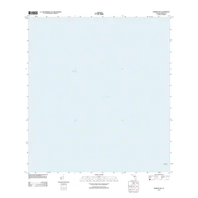
2012 Map of Bamboo Key
USGS Topo · Published 2012About this map
Bamboo Key sits at the southern edge of this maritime map, serving as a solitary terrestrial point amidst the expanse where the Florida Bay meets the Gulf of Mexico. This 2012 chart captures a sparse aquatic landscape where land is at a premium and the water depth and tidal flow define the geography. The map illustrates the significant coastal boundary where the inner bay waters transition toward the open gulf. While land features are nearly non-existent outside the namesake key, the survey provides precise spatial data for this protected marine environment within the Florida Keys archipelago, offering a look at the natural state of these waters in the early 21st century.
Find a feature on this map
3 named features on this map. Tap any name to fly to it.
Don’t see what you’re looking for? This feature index may not catch every label — zoom into the map to look around manually.
Map Details
Editions of this 2012 Bamboo Key Map
This is the sole edition of this map. No revisions or reprints were ever made.
Other maps of this area

1971 · Grassy Key
USGS Topo · 1:24,000

1971 · Marathon
USGS Topo · 1:24,000

1971 · Crawl Key
USGS Topo · 1:24,000

1972 · Marathon
USGS Topo · 1:24,000

1972 · Bamboo Key
USGS Topo · 1:24,000

1972 · Schooner Bank
USGS Topo · 1:24,000

1972 · East Bahia Honda Key
USGS Topo · 1:24,000

1972 · East Bahia Honda Key NE
USGS Topo · 1:24,000

1972 · Sevenmile Bridge
USGS Topo · 1:24,000

1983 · Islamorada
USGS Topo · 1:100,000