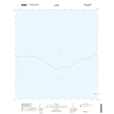
2018 Map of Bamboo Key
USGS Topo · Published 2018About this map
Bamboo Key stands as a solitary landform in this 2018 survey of the waters north of Marathon, Florida. The geography is defined almost entirely by the expanse of Florida Bay and the Atlantic Ocean, illustrating the delicate island chain's position between these two major water bodies. A primary maritime artery, the Intracoastal Waterway, cuts through the southern portion of the bay, marking the essential navigation route for coastal transit. This map focuses on the submerged and tidal environments of the Middle Keys, where the transition from shallow bay waters to the open ocean is punctuated only by the eponymous key, providing a clear record of the shoreline and nautical channels in the late twenty-tens.
Find a feature on this map
4 named features on this map. Tap any name to fly to it.
Don’t see what you’re looking for? This feature index may not catch every label — zoom into the map to look around manually.
Map Details
Editions of this 2018 Bamboo Key Map
This is the sole edition of this map. No revisions or reprints were ever made.
Other maps of this area

1971 · Grassy Key
USGS Topo · 1:24,000

1971 · Marathon
USGS Topo · 1:24,000

1971 · Crawl Key
USGS Topo · 1:24,000

1972 · Marathon
USGS Topo · 1:24,000

1972 · Bamboo Key
USGS Topo · 1:24,000

1972 · Schooner Bank
USGS Topo · 1:24,000

1972 · East Bahia Honda Key
USGS Topo · 1:24,000

1972 · East Bahia Honda Key NE
USGS Topo · 1:24,000

1972 · Sevenmile Bridge
USGS Topo · 1:24,000

1983 · Islamorada
USGS Topo · 1:100,000