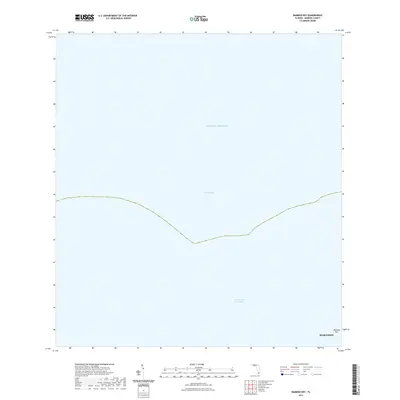
2021 Map of Bamboo Key
USGS Topo · Published 2021About this map
Florida Bay and the open waters of the Gulf of Mexico dominate this coastal survey, where the maritime boundaries of the Florida Keys meet the expansive sea. The map focuses on the aquatic landscape just off the coast of Marathon, detailing the critical transit route of the Intracoastal Waterway as it cuts through the bay. This segment of the keys highlights the isolation of small landforms like Bamboo Key, which stands as a solitary terrestrial marker in a region defined by its complex tidal environments and shallow seagrass flats. The map provides a clear picture of the modern navigational corridors and environmental preservation zones that characterize the waters of Monroe County today.
Find a feature on this map
6 named features on this map. Tap any name to fly to it.
Don’t see what you’re looking for? This feature index may not catch every label — zoom into the map to look around manually.
Map Details
Editions of this 2021 Bamboo Key Map
This is the sole edition of this map. No revisions or reprints were ever made.
Other maps of this area

1971 · Grassy Key
USGS Topo · 1:24,000

1971 · Marathon
USGS Topo · 1:24,000

1971 · Crawl Key
USGS Topo · 1:24,000

1972 · Marathon
USGS Topo · 1:24,000

1972 · Bamboo Key
USGS Topo · 1:24,000

1972 · Schooner Bank
USGS Topo · 1:24,000

1972 · East Bahia Honda Key
USGS Topo · 1:24,000

1972 · East Bahia Honda Key NE
USGS Topo · 1:24,000

1972 · Sevenmile Bridge
USGS Topo · 1:24,000

1983 · Islamorada
USGS Topo · 1:100,000