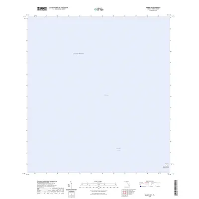
2024 Map of Bamboo Key
USGS Topo · Published 2024About this map
Florida Bay and the Gulf of Mexico meet in this maritime-focused survey, dominated by the open waters of the Florida Keys. The map centers on the Intracoastal Waterway, a critical navigation route for vessels moving between the Atlantic and the Gulf. Though primarily aquatic, the sheet includes Bamboo Key and a portion of Marathon, capturing a modern perspective of the island chain's geography. This survey provides a baseline of the shoreline and maritime boundaries in Monroe County as they existed in the early 2020s, useful for tracking changes in these low-lying tropical environments over time.
Find a feature on this map
5 named features on this map. Tap any name to fly to it.
Don’t see what you’re looking for? This feature index may not catch every label — zoom into the map to look around manually.
Map Details
Editions of this 2024 Bamboo Key Map
This is the sole edition of this map. No revisions or reprints were ever made.
Other maps of this area

1971 · Grassy Key
USGS Topo · 1:24,000

1971 · Marathon
USGS Topo · 1:24,000

1971 · Crawl Key
USGS Topo · 1:24,000

1972 · Marathon
USGS Topo · 1:24,000

1972 · Bamboo Key
USGS Topo · 1:24,000

1972 · Schooner Bank
USGS Topo · 1:24,000

1972 · East Bahia Honda Key
USGS Topo · 1:24,000

1972 · East Bahia Honda Key NE
USGS Topo · 1:24,000

1972 · Sevenmile Bridge
USGS Topo · 1:24,000

1983 · Islamorada
USGS Topo · 1:100,000