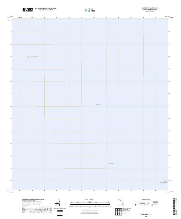
2025 Map of Bamboo Key
USGS Topo · Published 2025About this map
Florida Bay and the surrounding marine environment dominate this coastal survey in Monroe County. The map focuses on a transitional maritime zone where the Intracoastal Waterway provides a crucial navigation route through the shallow waters of the Gulf of America. At the southeastern edge of the sheet, the small island of Bamboo Key stands as the primary land feature, marking a point along the Florida Keys chain. This 2025 data collection, based on GNIS and National Hydrography Dataset records, illustrates the modern navigational corridors and environmental boundaries of this unique sub-tropical seascape.
Find a feature on this map
5 named features on this map. Tap any name to fly to it.
Don’t see what you’re looking for? This feature index may not catch every label — zoom into the map to look around manually.
Map Details
Editions of this 2025 Bamboo Key Map
This is the sole edition of this map. No revisions or reprints were ever made.
Other maps of this area

1971 · Grassy Key
USGS Topo · 1:24,000

1971 · Marathon
USGS Topo · 1:24,000

1971 · Crawl Key
USGS Topo · 1:24,000

1972 · Marathon
USGS Topo · 1:24,000

1972 · Bamboo Key
USGS Topo · 1:24,000

1972 · Schooner Bank
USGS Topo · 1:24,000

1972 · East Bahia Honda Key
USGS Topo · 1:24,000

1972 · East Bahia Honda Key NE
USGS Topo · 1:24,000

1972 · Sevenmile Bridge
USGS Topo · 1:24,000

1983 · Islamorada
USGS Topo · 1:100,000