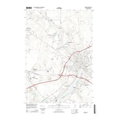
2014 Map of Bangor
USGS Topo · Published 2014About this map
Bangor and Brewer dominate this 2014 survey, where the Penobscot River serves as the central artery for transportation and industry. The map illustrates a dense network of river crossings, including the Chamberlain Bridge and the Penobscot Bridge, alongside historical landmarks like the Morse Covered Bridge. Educational institutions such as Husson Univ and Beal Coll are established features of the urban landscape, while the peripheries transition into the smaller settlements of East Bangor, West Bangor, and Six Mile Falls.
Find a feature on this map
198 named features on this map. Tap any name to fly to it.
Don’t see what you’re looking for? This feature index may not catch every label — zoom into the map to look around manually.
Map Details
Editions of this 2014 Bangor Map
This is the sole edition of this map. No revisions or reprints were ever made.
Other maps of this area

1900 · Orland
USGS Topo · 1:62,500

1900 · Bucksport
USGS Topo · 1:62,500

1902 · Orono
USGS Topo · 1:62,500

1902 · Bucksport
USGS Topo · 1:62,500

1902 · Bangor
USGS Topo · 1:62,500

1942 · Orland
USGS Topo · 1:62,500

1942 · Bangor
USGS Topo · 1:62,500

1942 · Bucksport
USGS Topo · 1:62,500

1944 · Orono
USGS Topo · 1:62,500

1946 · Bangor
USGS Topo · 1:62,500