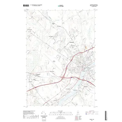
2021 Map of Bangor
USGS Topo · Published 2021About this map
The Penobscot River serves as the central artery for this modern landscape, dividing Bangor from Brewer and South Brewer. The city's northern reaches are defined by a mix of educational institutions like Husson University and Beal College, and significant transportation hubs such as Bangor International Airport and the rail corridors of Pan Am Railways. A network of streams, including Kenduskeag Stream and Sedgeunkedunk Stream, weave through the urban and suburban fabric, supporting the region's historic orientation toward the water.
Find a feature on this map
210 named features on this map. Tap any name to fly to it.
Don’t see what you’re looking for? This feature index may not catch every label — zoom into the map to look around manually.
Map Details
Editions of this 2021 Bangor Map
This is the sole edition of this map. No revisions or reprints were ever made.
Other maps of this area

1900 · Orland
USGS Topo · 1:62,500

1900 · Bucksport
USGS Topo · 1:62,500

1902 · Orono
USGS Topo · 1:62,500

1902 · Bucksport
USGS Topo · 1:62,500

1902 · Bangor
USGS Topo · 1:62,500

1942 · Orland
USGS Topo · 1:62,500

1942 · Bangor
USGS Topo · 1:62,500

1942 · Bucksport
USGS Topo · 1:62,500

1944 · Orono
USGS Topo · 1:62,500

1946 · Bangor
USGS Topo · 1:62,500