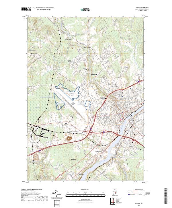
2024 Map of Bangor
USGS Topo · Published 2024About this map
The Penobscot River serves as the central artery for this contemporary look at Maine’s commercial hub, where the historic waterway separates Bangor from Brewer. The city's landscape is defined by its evolution from a timber capital to a modern regional center, evidenced by the extensive footprint of the Bangor International Airport and the NG Bangor Training Site. Inland, the winding Kenduskeag Stream cuts through the terrain, passing landmarks such as Husson University and the New England School of Communications.
Find a feature on this map
207 named features on this map. Tap any name to fly to it.
Don’t see what you’re looking for? This feature index may not catch every label — zoom into the map to look around manually.
Map Details
Editions of this 2024 Bangor Map
This is the sole edition of this map. No revisions or reprints were ever made.
Other maps of this area

1900 · Orland
USGS Topo · 1:62,500

1900 · Bucksport
USGS Topo · 1:62,500

1902 · Orono
USGS Topo · 1:62,500

1902 · Bucksport
USGS Topo · 1:62,500

1902 · Bangor
USGS Topo · 1:62,500

1942 · Orland
USGS Topo · 1:62,500

1942 · Bangor
USGS Topo · 1:62,500

1942 · Bucksport
USGS Topo · 1:62,500

1944 · Orono
USGS Topo · 1:62,500

1946 · Bangor
USGS Topo · 1:62,500