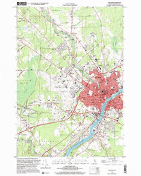
1996 Map of Bangor
USGS Topo · Published 2000About this map
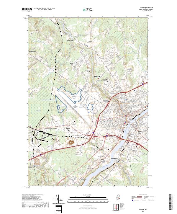
The Penobscot River defines the urban landscape of Bangor and Brewer in this mid-1990s survey, showing the deep integration of education and aviation in the regional economy. The massive footprint of Bangor International Airport dominates the western side of the city, situated near Northern Maine Junction and the Air Nat Guard station. Educational institutions are densely clustered, from the Theological Seminary and Husson College to a wide network of local schools like Down East Sch and Fruit St Sch.
Find a feature on this map
84 named features on this map. Tap any name to fly to it.
Don’t see what you’re looking for? This feature index may not catch every label — zoom into the map to look around manually.
Map Details
Editions of this 1996 Bangor Map
This is the sole edition of this map. No revisions or reprints were ever made.
Historical Maps of Outer Ohio Through Time
13 maps found
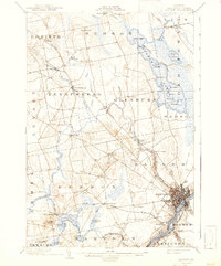
1902 Bangor
Penobscot County, ME

1942 Bangor
Penobscot County, ME
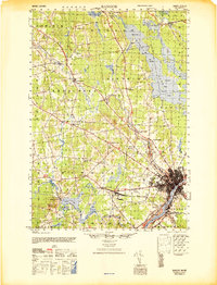
1946 Bangor
Penobscot County, ME

1948 Bangor
Penobscot County, ME
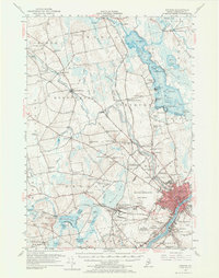
1955 Bangor
Penobscot County, ME
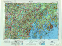
1956 Bangor
Penobscot County, ME

1960 Bangor
Penobscot County, ME

1961 Bangor
Penobscot County, ME
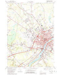
1978 Bangor
Penobscot County, ME
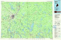
1985 Bangor
Penobscot County, ME
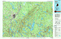
1994 Bangor
Penobscot County, ME
1996 Bangor
Penobscot County, ME
2024 Bangor
Penobscot County, ME