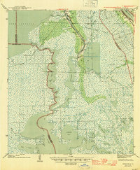
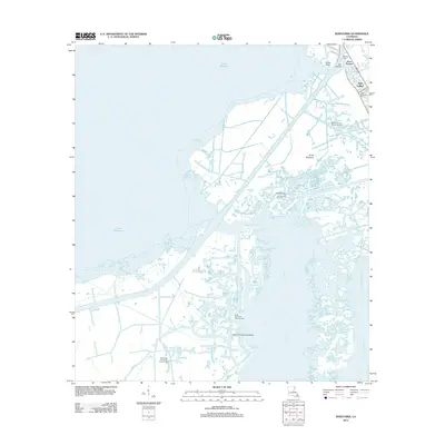
1944 Map of Barataria
USGS Topo · Published 1944About this map
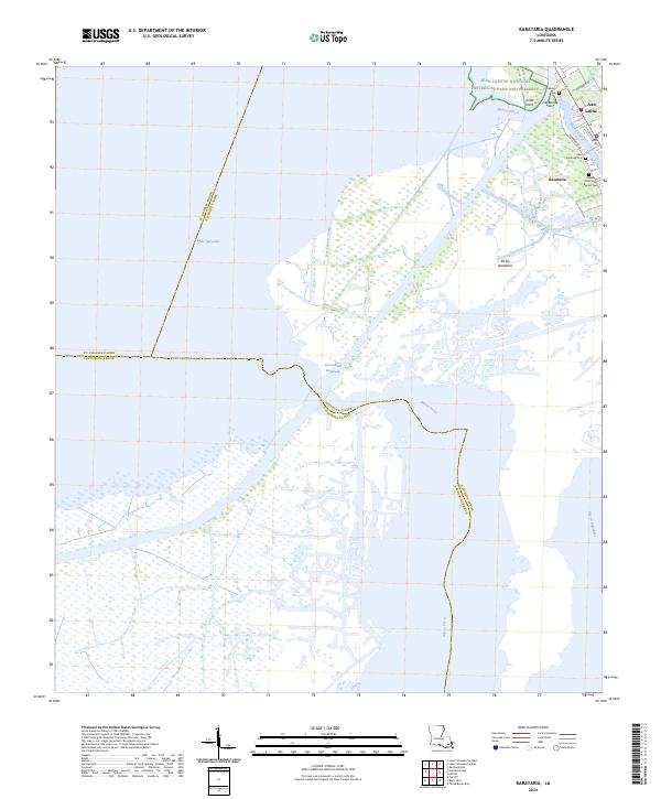
Bayou Barataria serves as the primary corridor through this labyrinth of coastal wetlands during the early 1940s. The settlement pattern is defined by thin ribbons of habitable ground along the waterways, where small communities like Barataria and Lafitte are established. Education is rooted in these linear villages at Fisher Sch No 1 and Fisher Sch No 2. Further east, the Mississippi River creates a starkly different landscape of engineered levees and settlements such as Gloria and Ollie, connected by the Ollie Canal. This survey captures the region just as the Intracoastal Waterway was reshaping local navigation, cutting through the tidal marshes near Bayou Perot and Little Temple. The transition from the massive open waters of Lake Salvador to the intimate, winding reaches of Bayou Courage and Bayou Manuel illustrates the complex hydrology of the Mississippi Delta before extensive modern modification.
Find a feature on this map
49 named features on this map. Tap any name to fly to it.
Don’t see what you’re looking for? This feature index may not catch every label — zoom into the map to look around manually.
Map Details
Editions of this 1944 Barataria Map
This is the sole edition of this map. No revisions or reprints were ever made.
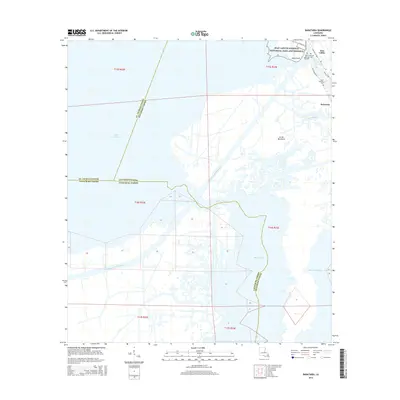
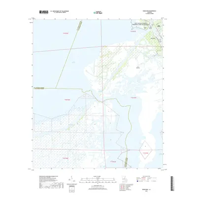
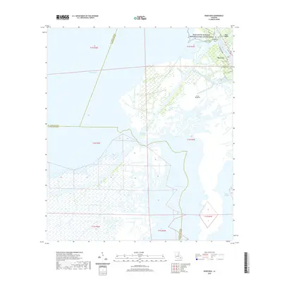
Historical Maps of Jean Lafitte Through Time
10 maps found
1892 Barataria
Jefferson Parish, LA

1941 Barataria
Jefferson Parish, LA
1944 Barataria
Jefferson Parish, LA
1962 Barataria
Jefferson Parish, LA
1973 Barataria
Jefferson Parish, LA
2012 Barataria
Jefferson Parish, LA
2015 Barataria
Jefferson Parish, LA
2018 Barataria
Jefferson Parish, LA
2020 Barataria
Jefferson Parish, LA
2024 Barataria
Jefferson Parish, LA